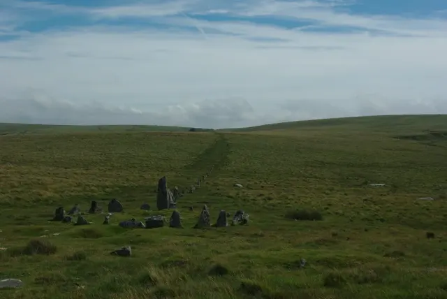
Hurston Ridge stone row and enclosure
The Hurston Ridge double stone row, 143 m long from a round cairn to a blocking stone, with a second cairn, an enclosure of at least seven huts 210 m long and the Hurston Ridge reave.
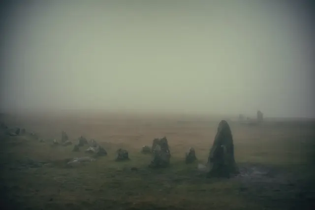
A Dartmoor stone row is a line of small upright granite stones, laid out as a single, double or triple line, usually leading from a cairn or stone circle. About 76 rows are known (Butler's list), and Cut Hill (found 2004) and Tottiford (2009) take that to roughly 77. Most stones stand under a metre high, and many have fallen or sunk into the peat.
The longest is the Erme valley row from Stall Moor to Green Hill. Sources give 3.1 to 3.4 km. R. N. Worth counted 798 stones in 1892 and thought there had once been at least three times that many. At Merrivale the two double rows (west and east) are 182 m and 263 m long, each with more than 150 stones. Drizzlecombe has three rows, each ending in a tall stone; the tallest, about 14 ft (4.3 m), was re-erected in 1893 by Sabine Baring-Gould, R. Hansford Worth and others. Others to see are Cosdon (a triple row about 146 m long), Down Tor and Fernworthy.
The Rev. E. A. Bray measured Merrivale on 7 October 1802, and Samuel Rowe described rows in 1830. The first full survey was R. N. Worth's paper of 1892, which described 27 rows. By 1896 he had 46, as Baring-Gould, Robert Burnard and others found more. His son, R. Hansford Worth, carried the series on from 1903.
Nobody knows for certain what the rows were for. Worth thought them sepulchral, since nearly all start at a cairn or circle. Other suggestions are processional routes, territorial markers and sky alignments. Dating is no better: most are put in the late Neolithic or Bronze Age, but the Cut Hill row was carbon dated to about 3500 BC.
The Hurston Ridge double stone row, 143 m long from a round cairn to a blocking stone, with a second cairn, an enclosure of at least seven huts 210 m long and the Hurston Ridge reave.
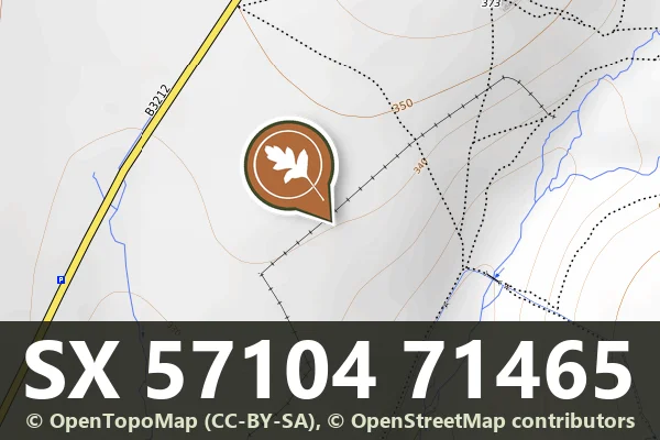
Three Late Neolithic stone rows on Longash Common by Merrivale Bridge: two parallel double rows 182 m and 264 m long and a 42 m single row, with cairns and cists.
The Stanlake stone row: a double row of at least 81 stones, 283.6 m long, running north-east to south-west, with a blocking stone and three cairns at its south-west end.
A single stone row 316 m long with at least 174 stones and a 2.8 m standing stone at its western end, beside a cairn ringed by 24 upright stones, on the saddle between Eylesbarrow and Down Tor.
Bronze Age settlement remains including stone alignment, cairns, hut circles and field boundary on the open moor northeast of Horseyeatt.
A Bronze Age stone alignment on Conies Down, one of several such ritual or territorial markers scattered across Dartmoor.
A single stone row 128 m long with 27 stones, 13 still in place, ending in a cairn, and crossed by the Lichway, on the ridge between Cocks Hill and White Tor.
The Ringmoor Down double stone row, 337 m long with 27 stones, ending in a cairn 7 m across with a kerb 12.9 m across that Baring-Gould restored in 1909.
Walkhampton, Yelverton
Two scheduled stone alignments near Sharpitor: a double row and a single row with a round cairn north-west of the tor, and a short double row between Sharpitor and Leeden Tor.
Photograph by Glavind Strachan Photography“It is indeed a scene of desolate loneliness, the spot being the wildest in the east quarter of the forest.”
Also on Our DartmoorCairn with cist S of Royal Hill — Bronze Age burial cairn with stone burial chamber, located south of Royal Hill on Dartmoor.