

← Browse Stone Rows & Alignments · Browse the directory

Main image: Photo: Guy Wareham, Wikimedia Commons
Historic England's scheduling record (list entry 1012246) describes the Ringmoor Down stone alignment, a double row of stones 337 metres long running north-east to south-west, with a cairn and kerb at the south-west end and an upright stone 1.1 metres high at the north end. It runs close to the 290 metre contour and has twenty-seven standing stones from 0.15 to 1.25 metres high. Robbing has reduced the number of stones, but the opposing pairs are on average 1.4 metres apart. It lies in the parish of Sheepstor, about 0.8 km north-west of Legis Tor and 1.7 km south of Sheepstor.
The cairn is 7 metres across and 0.4 metres high and is ringed by a kerb 12.9 metres across. Baring-Gould restored the kerb in 1909. Before that, one stone stood and four had fallen, with sockets recorded for a further six. There are now ten standing stones, the original one 0.7 metres high and the restored, brought-in stones up to 0.9 metres high.
Historic England puts the roughly 70 stone rows known on Dartmoor in the Late Neolithic, about 2500 BC, and notes that they often lead to burial monuments such as small cairns, cists and barrows, which is why they are thought to have had a ceremonial role.
Sources: Historic England list entry 1012246, which cites the Devon County Sites and Monuments Register SX56NE-008 and 008.1.
- Period: Bronze Age
- Status: Scheduled monument (Historic England list entry 1012246)
- Grid reference: SX 5636 6596 (approximate, from the listing's coordinates)
Contact us if you have information about this listing
Official record
Explore the area
Go deeper with Dartefacts
Dartefacts is a database of Dartmoor sites with far more close-up detail than we can show here, and it is the best place to go deeper. Dartefacts is free to use, and nobody has to pay to look things up. If you want more, a yearly subscription adds 10-figure grid references, map zoom down to 1:25,000 and lists to tick off the places you have visited, and it helps keep the site going. We would encourage you to subscribe.
More Dartmoor resources
Thoughts
Be the first to share a thought about Stone alignment, Ringmoor Down.
Share a thought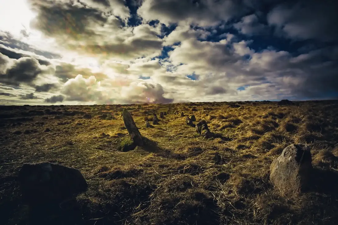 Shoveldown Stone Rows. Photograph by Glavind Strachan Photography
“the country around as far as the eye extends is one uneven barren and dreary waste, not a tree Shrub or scarce a plant is seen for many miles around, here and there appears a miserable thatched Cottage whose outward appearance bespeaks the misery and poverty within,”
Also on Our DartmoorTwo adjoining hut circles above Red Brook — Two adjoining hut circles, 8 m and 9 m across, above the right bank of Red Brook, the downstream one with an entrance flanked by upright stones.
Know another Dartmoor place, tor or landmark we should include? Suggest a listing, it is free.
Suggest a listing