Plundered Dartmoor
Robert Burnard's case against the enclosure and exploitation of Dartmoor, first published in 1896 and issued by the Dartmoor Preservation Association as its Publication No. 11.
Showing listings tagged “Firing Ranges” Show all listings
Robert Burnard's case against the enclosure and exploitation of Dartmoor, first published in 1896 and issued by the Dartmoor Preservation Association as its Publication No. 11.
Okehampton Hamlets
A northern moor brook rising below High Willhays, the highest ground in southern England, and running down between the tors of the Okehampton range to meet the West Okement near Meldon.
A grassy spur with a small cairn and a military flagpole marking the edge of the Okehampton firing range.
A flat, boggy hill above the upper Walkham, near White Barrow and the Lych Way, with the Forest boundary running over it.
“Dartmoor soaked up this illumination like a sponge, and did not waken at its tepid touch.”
Who wrote this?
A broad hill on the Okehampton range with an observation post on top, between Hangingstone Hill and High Willhays and the source of the East Dart.
A grassy hill beside Fur Tor in the Cranmere district, with a small rocky outcrop on its south west slope, inside the Okehampton firing range.
A bleak 584 m peat plateau in the Okehampton range near Cranmere Pool, topped by a small cairn of white stones, with the Taw and East Dart rising close by.
A broad, boggy hill east of the sources of the Walkham, inside the Merrivale firing range, crossed by routes to the Tavy and Fur Tor.
One of the highest points on Dartmoor, near the head of the Taw inside the Okehampton range, with an observation hut on the summit.
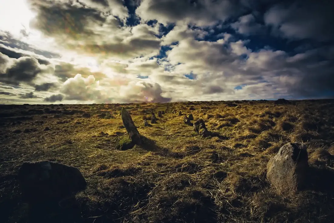
Shoveldown Stone Rows. Photograph by Glavind Strachan Photography“It struck me as something new in farming, and I was going to ask him what there was in it that he paid a labourer to hoe his stubbles.”
Also on Our DartmoorDouble hut circle near Deadlake Foot — A double hut circle with rooms 4 m and 5 m by 4 m, attached to an enclosure 51 m by 43 m on the edge of the Tavy flood plain at the foot of Watern Oke.