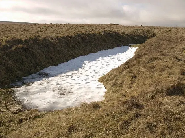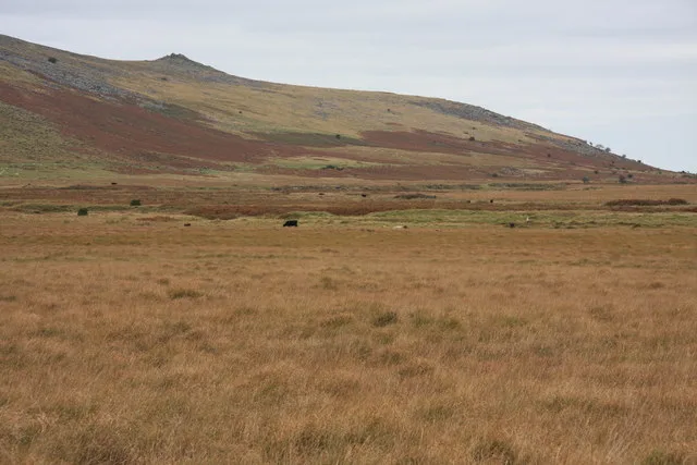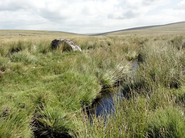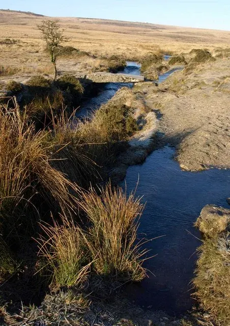
Walla Brook (Hangingstone Hill, North Teign)
Gidleigh, Chagford
A short stream from Hangingstone Hill, also called the Headon River, that runs north and east to the North Teign beside the Wallabrook clapper bridge.
Showing listings tagged “Mires and bogs” Show all listings
Gidleigh, Chagford
A short stream from Hangingstone Hill, also called the Headon River, that runs north and east to the North Teign beside the Wallabrook clapper bridge.
A research report on how hill-farmers view peatland restoration works on Dartmoor's Commons, carried out for the Forest of Dartmoor Commoners Association and the South West Peatland Partnership.
Plymouth
A touring guide to North Devon and Exmoor published by Edward Stanford, part of Worth's series of regional guides.
“I once heard a woman tell one of her daughters, in a Dartmoor cottage, " to log the child's cradle." There, thought I, is a British word ; log means to rock, hence logging, or logan stone.”
Who wrote this?
Combe
Holne Ridge is one of the highest points in southern Dartmoor, with Ryder's Hill marking its peak at the highest elevation.
South Tawton
The marshy head of the River Taw below Steeperton Tor: once a lake, the target of three reservoir schemes, and a source of Devon's drinking water from 1959 until the 1990s.
Dartmoor Forest
Foxtor Mires is a Dartmoor wetland located within the South Dartmoor Site of Special Scientific Interest, north of Cornwood. This area, part of the larger protected zone extending from Rock Tor to Fox Tor, supports unique peatland habitats.
Dartmoor
A discussion on peatland archaeology in Dartmoor with an expert.
A strategic collaboration of organisations, groups and individuals working together to restore and enhance the natural environment across Devon.
Dartmoor Forest
A remote northern moor brook rising below Steeperton Tor and running down through Taw Marsh to join the young River Taw, deep in the Okehampton range.