Dartmoor quiz
Which Dartmoor place has also been known as "Big Tip"?


← Browse Tors & Landmarks · Browse the directory
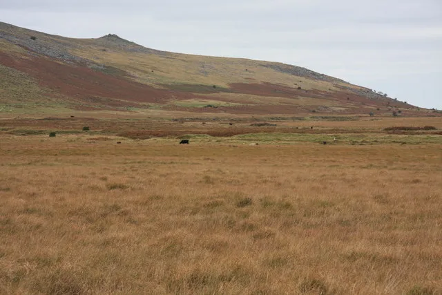
Main image: Taw Marsh - 128 metres from location - image by Guy Wareham (CC BY-SA 2.0), via Wikimedia Commons
Taw Marsh is a level, boggy plain about 1,200 feet above sea level at the head of the River Taw, below Steeperton Tor and south of Belstone. Arthur Prowse, writing in 1890, described it as two stretches of bog, each about a third of a mile long and one to two hundred yards broad, separated by a strip of firmer ground through which a small tributary runs. Sabine Baring-Gould thought it was once a lake that silted up with sand and gravel; others have argued for a lake held back by glacial drift. Nine Mesolithic flints found here are in Exeter Museum.
The marsh has been wanted for water more than once. In 1878 the Dartmoor and Exeter Water Company proposed two dams here and an underground aqueduct to supply Exeter, and the scheme was dropped. In 1920 a hydro-electric scheme with several reservoirs, Taw Marsh among them, was defeated in the House of Lords after local campaigning. In 1936 South West Utilities sought a water and hydro scheme with a reservoir of about 385 acres here, and the House of Lords rejected it in 1937. Enemy bombs fell on the marsh in the Second World War, and the dam that was never built is remembered locally as a lucky escape.
Water was taken from the marsh without a dam. In 1957 the North Devon Water Board was allowed to drill test boreholes, and the North Devon Water Act of 1959 allowed up to 2.5 million gallons a day to be drawn. The water carried radon from the granite, so the Board built an aeration works to remove it: see the Taw Marsh Waterworks listing. Aluminium later became a problem, South West Water stopped drawing from the marsh in the late 1990s, and the licence was revoked in 2011. A study in the early 1990s found the marsh drying out; the Environment Agency now describes the bog as recovering, with brown trout returning to spawn.
Today the lower marsh is a picnic spot and a place for wild swimmers, and flash floods can come quickly. A Belstone story tells of a sheep farmer who, gathering his flock at night, saw a horned head above a granite boulder on the marsh; the village prayed through the night, and next day a red stag was found frozen to the rock. The marsh appears in the paintings of the Widgerys and John Shapland and in the novels of Eden Phillpotts. Ranges lie nearby on the moor, so check the firing times before you go.
Contact us if you have information about this listing
Dartefacts is a database of Dartmoor sites with far more close-up detail than we can show here, and it is the best place to go deeper. Dartefacts is free to use, and nobody has to pay to look things up. If you want more, a yearly subscription adds 10-figure grid references, map zoom down to 1:25,000 and lists to tick off the places you have visited, and it helps keep the site going. We would encourage you to subscribe.
Be the first to share a thought about Taw Marsh.
Share a thought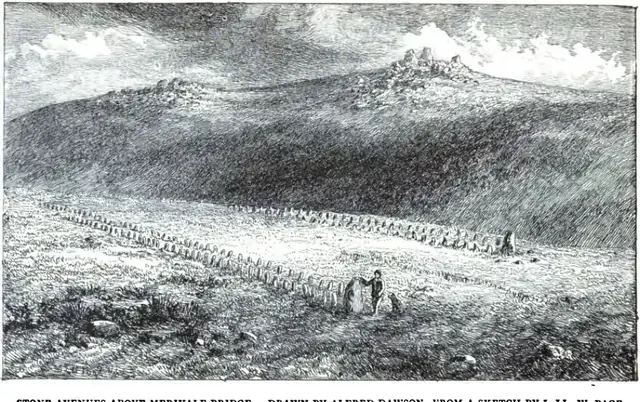 Plate from An Exploration of Dartmoor and Its Antiquities, page 174, 1889
“Upon the first heather ridges the cold breath of the Moor touched the man to patience and brought him nearer himself.”
Also on Our DartmoorSouth Hams Central: Swim, Walk & History — Guide to the South Hams coast from East Prawle to Bantham: swimming spots, walks with maps, poems, history and local stories.
Which Dartmoor place has also been known as "Big Tip"?
Know another Dartmoor place, tor or landmark we should include? Suggest a listing, it is free.
Suggest a listing