Photo © Nilfanion, CC BY-SA 3.0, via Wikimedia Commons
South Tawton
South Tawton is a village and parish on the northern edge of Dartmoor, in West Devon. The parish council lists three settlements in it: South Tawton, South Zeal and Taw Green. Cosdon Hill (also called Cawsand Beacon, 1,799 feet) dominates the skyline to the south of the village. The 2011 census counted 1,683 people, and the Domesday Book puts the parish among the wealthiest in Devon.
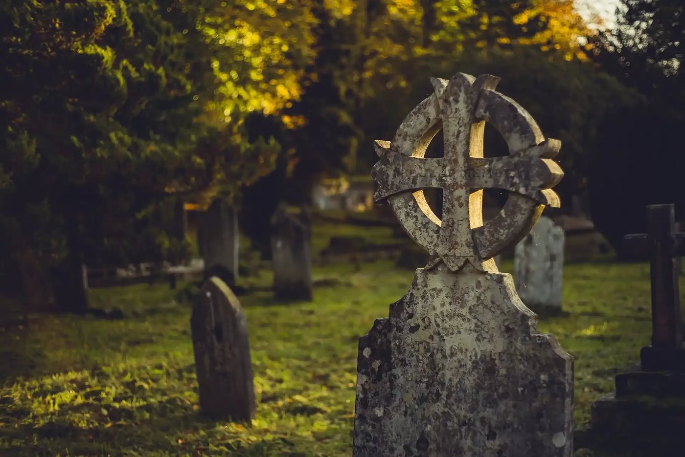
St Andrew's church is Grade I listed, of Norman origin and rebuilt in the 15th century. The wagon roof has more than 170 late medieval carved bosses, including a green man and the three hares, and was re-roofed in 2013 after local fundraising. The churchyard won Devon's Best Churchyard competition in 2018. Inside is the effigy of John Wykes of North Wyke, in full armour. He died in 1591; his birth is given as 1520 in one source and 1524 in another. North Wyke house, Grade I listed, has Wykes family records back to 1227.
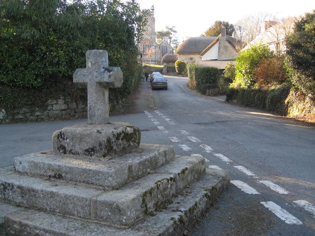
Beside the church is the Church House, a late 15th century granite building with a thatched roof, listed Grade II*. Its own records begin in 1524. The parish has used it for over 500 years, and it is still owned by the incumbent and churchwardens on the parish's behalf. In front of the church is the Crosstree, where a tree has stood since the days of Elizabeth I; the wall and seat were rebuilt for the 1953 coronation.
South Tawton on the map
In South Tawton
Little Hound Tor
South Tawton, Okehampton
A small granite outcrop below the summit of Little Whit Hill. Its name goes back to the 1240 forest bound Parva Hundetorre, though which hill that meant is disputed.
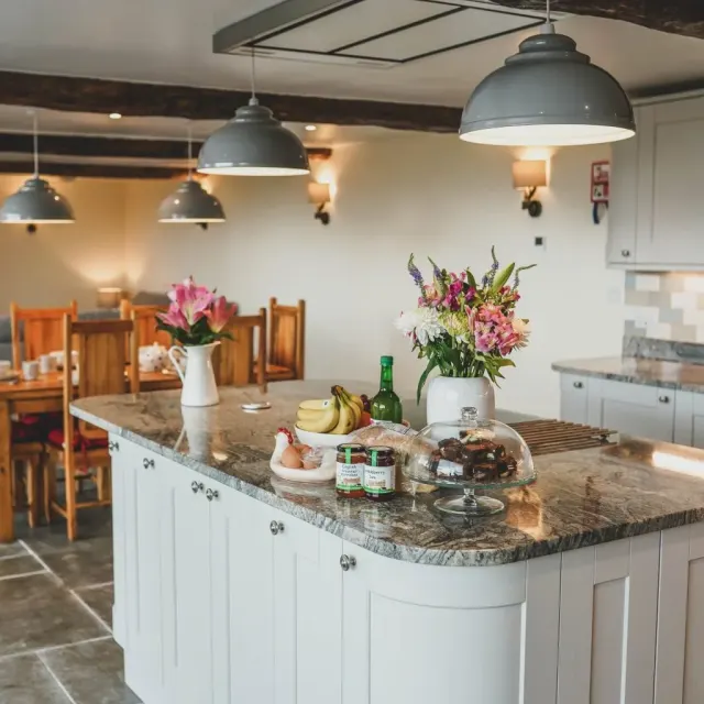
Lovaton Farm House B&B
South Tawton
A family run working farm on the edge of beautiful North Dartmoor, Lovaton Farm has been home to our family for many years.
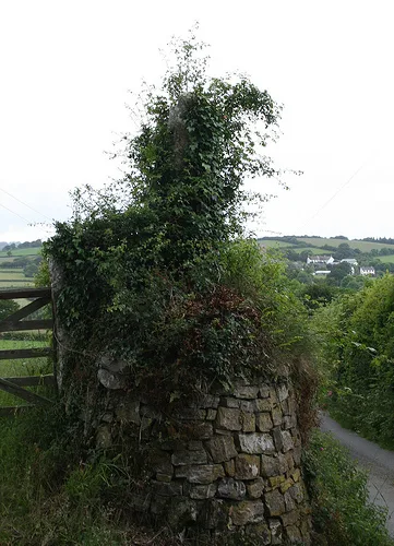
Oxenham Cross
South Tawton, Okehampton
A medieval wayside cross on the open moor, likely marking a route or boundary in the Oxenham valley.
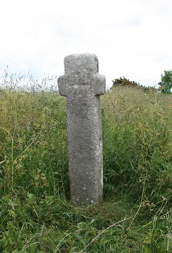
Ringhill Cross
South Tawton, Chagford
A Latin wayside cross 1.9 m high with oval gate-hanging notches and an incised cross on each face, moved to its present place when the A30 was improved in November 1988, near Scarhill Cross.
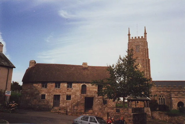
South Tawton Parish Council
South Tawton, Okehampton
The parish council for South Tawton, South Zeal and Taw Green on the northern edge of Dartmoor.
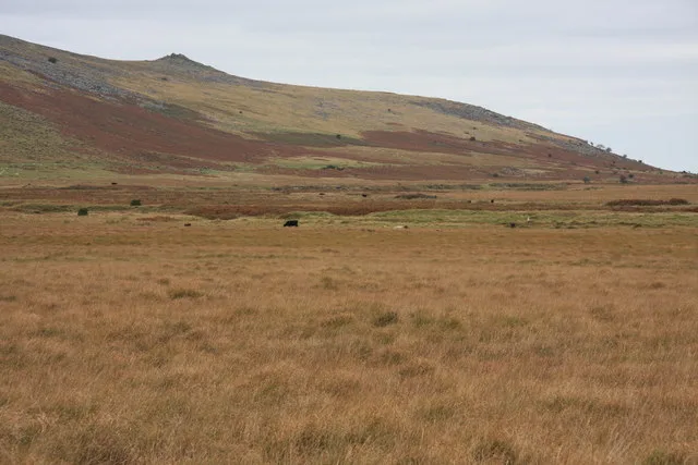
Taw Marsh
South Tawton
The marshy head of the River Taw below Steeperton Tor: once a lake, the target of three reservoir schemes, and a source of Devon's drinking water from 1959 until the 1990s.