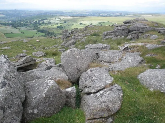
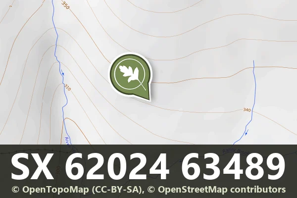
Round cairn, Little Staple Tor
An intact round cairn 6 m across and 0.9 m high on Whitchurch Common, with large stones through the surface, within the coaxial field system over Cox Tor.
Showing listings tagged “Historic England” Show all listings
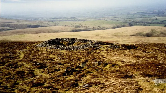
An intact round cairn 6 m across and 0.9 m high on Whitchurch Common, with large stones through the surface, within the coaxial field system over Cox Tor.
A round cairn 15 m across and 1.8 m high between two rock outcrops on the summit of Yes Tor, with a core exposed by military, visitor and early antiquarian damage.
A round cairn 9 m across and 0.9 m high on the ridge between Higher Tor and Oke Tor, dug in the past for a few scraps of burnt bone, with two big stones in the pit that may be a broken cist cover.
A round cairn 6.5 m across and 0.4 m high on a hill summit above the Walkham, with a hollow and an edge-set slab that may be the remains of a cist.
A kerbed cairn with a cist, 8.2 m across, in the Wigford Down coaxial field system, re-examined by Worth in 1900.
A ring cairn 22 m across and 0.9 m high on Holne Ridge, with an outer bank on three sides that makes it 30.4 m across overall.
A ring cairn on the summit ridge of Cawsand Hill: a rubble bank 2 m wide round a space 18 m by 17 m, with a central mound holding a stone cist that Rowe described in the early 19th century.
A large settlement above the Yealm: an enclosure of two parts with about 25 hut circles, a small enclosure with two huts, 16 more huts in a field system, and two later shelters and two leats.
Part of the Dartmeet coaxial field system north-east of Venford Reservoir: three parallel reaves, at least ten hut circles, and later historic fields, on a spur above the Dart.
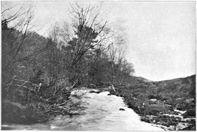
Plate from Dartmoor Illustrated, page 62, 1900“The numerous blocks of granite which appear to be split asunder by some violent action, are said by the moormen to have been riven in that manner by the earthquake which occurred at our Saviour's crucifixion.”
Also on Our DartmoorRoughtor parallel reave — A 700 m reave with a bank 4 m wide and 1 m high, with traces of upright-stone facing and a later ditch, between the Eylesbarrow watershed reave and Roughtor Plantation.