

← Browse Cairns & Barrows · Browse the directory

Main image: Photo: Martin Bodman, Wikimedia Commons
Historic England's scheduling record (list entry 1002552) describes a kerbed cairn with a cist within a coaxial field system on the south-eastern side of Wigford Down, overlooking the Plym valley. The cairn is a circular stony mound up to 8.23 metres across and 0.8 metres high. A retaining kerb shows to the south as a 0.6 metre high arc of large stones about 7 metres across inside, and disappears to the north where two prehistoric field boundaries cross over the cairn. It lies in the parish of Meavy, about 1.4 km north of Shaugh Prior.
The central cist is a stone-lined rectangle partly hidden by its displaced cover stone, up to 1.1 metres long, 0.8 metres wide and 0.7 metres deep. The cairn had been dug before, and Worth re-examined it in 1900 and recovered two fragments of late Bronze Age pottery.
Sources: Historic England list entry 1002552 (updated 9 November 2015), which cites Butler, Dartmoor Atlas of Antiquities, vol 3 (1994), and PastScape 439547.
- Period: Bronze Age
- Status: Scheduled monument (Historic England list entry 1002552)
- Grid reference: SX 5442 6441 (approximate, from the listing's coordinates)
Contact us if you have information about this listing
Official record
Explore the area
Go deeper with Dartefacts
Dartefacts is a database of Dartmoor sites with far more close-up detail than we can show here, and it is the best place to go deeper. Dartefacts is free to use, and nobody has to pay to look things up. If you want more, a yearly subscription adds 10-figure grid references, map zoom down to 1:25,000 and lists to tick off the places you have visited, and it helps keep the site going. We would encourage you to subscribe.
More Dartmoor resources
Thoughts
Be the first to share a thought about Kerbed cairn near Cadworthy Wood.
Share a thought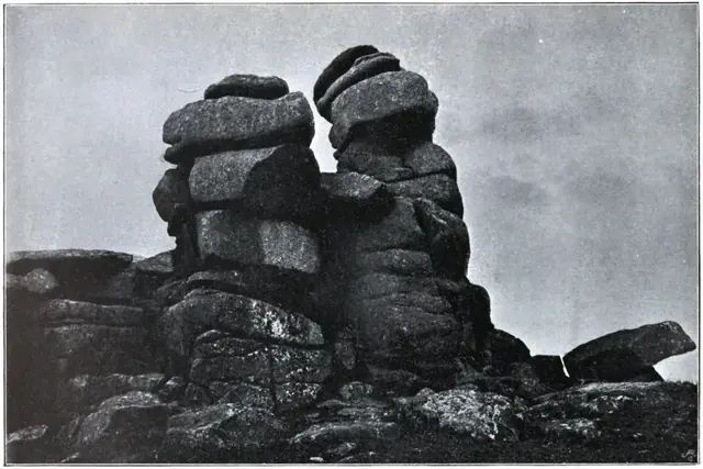 Plate from Dartmoor Illustrated, page 192, 1900
“This little feeder takes its rise at the foot of Cut Hill, issuing out of a black, swampy, almost uncanny looking place; a hollow filled with bog from which the stream oozes in a slow, lifeless sort of way.”
Also on Our DartmoorCamp 325yds (300m) SE of Archerton — Iron Age enclosed settlement south-east of Archerton, visible as earthwork remains on open moorland.
Know another Dartmoor place, tor or landmark we should include? Suggest a listing, it is free.
Suggest a listing