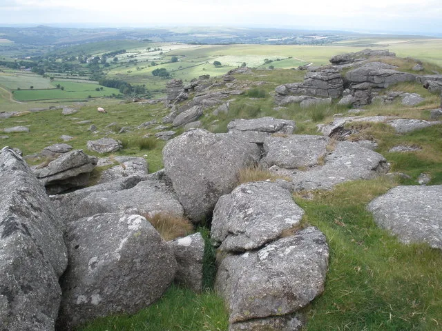
Historic England's scheduling record (list entry 1007552) describes a round cairn on the summit of a hill overlooking the valley of the River Walkham. The mound is 6.5 metres across and up to 0.4 metres high. A shallow hollow in the middle suggests earlier robbing or partial excavation, and a slab set on edge in the hollow may be what is left of a cist. It lies in the parish of Peter Tavy, about 1.1 km east of Wedlake Tor and 2.5 km north of Merrivale.
Sources: Historic England list entry 1007552, which cites Grinsell, Dartmoor Barrows (Devon Archaeological Society Proceedings 36, 1978), page 161, and Baring-Gould, Sixth Report of the Dartmoor Exploration Committee (Devonshire Association Transactions, vol 31, 1899), page 152.
Period: Bronze Age
Status: Scheduled monument (Historic England list entry 1007552)
Grid reference: SX 5488 7765 (approximate, from the listing's coordinates)
Dartefacts is a database of Dartmoor sites with far more close-up detail than we can show here, and it is the best place to go deeper. Dartefacts is free to use, and nobody has to pay to look things up. If you want more, a yearly subscription adds 10-figure grid references, map zoom down to 1:25,000 and lists to tick off the places you have visited, and it helps keep the site going. We would encourage you to subscribe.
Our Dartmoor doesn't track you and runs no adverts. We use one cookie to make the
site work, and some pages load videos, maps or optional social media panels from other sites, the panels only if you choose to show them.