


Dartmoor quiz
Old books sometimes spell "Leather Tor" differently. Which of these is one of those spellings?


← Browse Prehistoric Settlements · Browse the directory
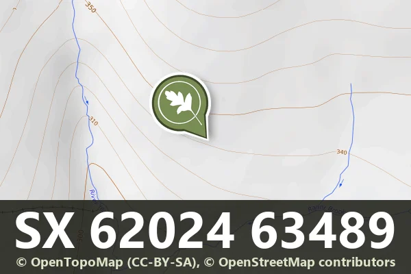
Grid ref: SX 6202 6348
Historic England's scheduling record (list entry 1015429) describes a large prehistoric stone hut circle settlement, three enclosures, a field system of the same period, two post-medieval buildings and two lengths of leat on a south-facing slope above the valley of the River Yealm. More huts to the north and east have their own schedulings. It lies in the parish of Cornwood.
The main enclosure is in two sub-circular parts lying across the slope, covering 1.9 hectares. The western part is the older, 0.7 hectares, with a rubble wall 3 metres wide and 0.6 metres high, a clear entrance in the south-west and at least five huts inside. A gap in the east wall leads into the later and larger eastern part, 1.2 hectares, with a wall 2.5 metres wide and 1 metre high and nineteen huts inside. One hut is attached to its outer south face, and one lies on each side of the boundary between the two parts. The last of these seems to lie under the wall, which suggests some of the huts were built before the enclosure. Twenty-three of the huts are circular, with insides 2 to 6.6 metres across, averaging 4.33 metres, and two are oval. The walls are 0.2 to 0.9 metres high. Seventeen have visible doorways, four are attached to the enclosure wall, two have more than one room, two have annexes, one has a porch and two are cut by later leats.
South of the main enclosure are 16 huts and a cairn in a field system of partly lynchetted, disjointed rubble banks, many connected to the huts or surrounding them. Fifteen of the huts are circular, 3.9 to 8 metres across, averaging 5.25 metres, and one is oval. Thirteen have visible doorways, five are attached to field boundaries and one has a forecourt. The cairn is 5 metres across and 0.6 metres high and is most likely field clearance. A third enclosure south of the field system is oval, 60 metres by 30 metres, bounded by a bank 1.5 metres wide and 0.5 metres high on three sides and by the steep drop to the Ranny Brook on the south-east. Two huts lie inside: the southern, 4.5 metres across with a doorway facing south, partly blocked, and the northern, 4.7 metres across, attached to the boundary, with an annex 4.7 metres by 3 metres.
Two post-medieval buildings are attached to the main enclosure wall. One is a small coursed drystone cache, 1.6 metres square inside, which may have been built by the leat builders. The other is a rectangular drystone shelter, 2.5 metres by 1.8 metres inside, probably built by shepherds who reused the prehistoric enclosure as a pound. Two leats cut through the enclosure and some of the huts, both probably cut to carry water from the Yealm to a tin streamwork 270 metres east of the settlement.
Sources: Historic England list entry 1015429, which cites Gibson, Single Monument Class Description: Stone Hut Circles (1988), fieldwork for the Monuments Protection Programme by S. Gerrard, the National Archaeological Record (SX66SW30) and a run of Devon County Sites and Monuments Register records (SX66SW32, 211, 212, 254 to 262, among others).
Contact us if you have information about this listing
Dartefacts is a database of Dartmoor sites with far more close-up detail than we can show here, and it is the best place to go deeper. Dartefacts is free to use, and nobody has to pay to look things up. If you want more, a yearly subscription adds 10-figure grid references, map zoom down to 1:25,000 and lists to tick off the places you have visited, and it helps keep the site going. We would encourage you to subscribe.
Be the first to share a thought about Yealm Steps hut circle settlement, enclosures and field system.
Share a thought Photograph by Glavind Strachan Photography
“Not a lone hill surrounded by bogs is without its great mound of earth or pile of stones over some dead man.”
Also on Our DartmoorSharpitor, Lustleigh — A wooded granite spur tor at the south-eastern end of Lustleigh Cleave, with the Nutcracker logan stone, old postcard views and a steep climb from Lustleigh village.
Old books sometimes spell "Leather Tor" differently. Which of these is one of those spellings?
Know another Dartmoor place, tor or landmark we should include? Suggest a listing, it is free.
Suggest a listing