

← Browse Reaves & Field Systems · Browse the directory

- Period: Prehistoric (Bronze Age by type)
- Status: Six scheduled monuments (Historic England entries listed below)
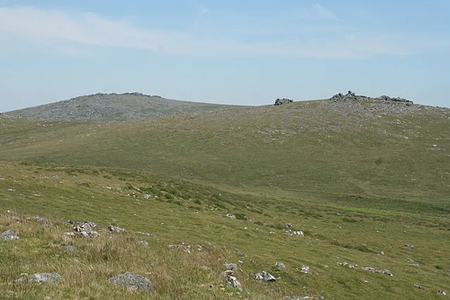
These are the places on Cox Tor where huts sit inside or beside enclosures, on the east, south, west and north-east slopes. One has an irregular aggregate field system with eight huts and, over it, later post-medieval fields with ridge and furrow. The enclosures are different dates from the neighbouring field systems.
The six scheduled monuments
| Historic England entry | Grid reference | What survives |
|---|---|---|
| 1011441 | SX 53540 76805 | An irregular aggregate field system of four plots over about 2 hectares, eight hut circles (4.7 m to 7 m across) and three later post-medieval fields with ridge and furrow, on the north-east slope. |
| 1011429 | SX 53609 76601 | Two hut circles, 4.5 m and 5.8 m across, attached to a sub-circular enclosure 50 m by 39 m, part of the north-east settlement. |
| 1011498 | SX 53196 76144 | Two very small hut circles and a sub-rectangular enclosure 32 m by 38 m, its corners marked by clearance cairns, on the east slope. |
| 1011497 | SX 52853 75986 | An enclosure 30 m by 26 m on the steep west slope with a hut circle (6.6 m inside, south doorway) and a small rectangular building. |
| 1020002 | SX 52545 75900 | Three hut circles and a 64 m by 54 m enclosure with fields on a gentle west-facing slope, two of the huts inside the enclosure. |
| 1020006 | SX 52998 75415 | A D-shaped enclosure 50 m by 40 m with a small hut circle in its south-west corner, on the south slope above Whitchurch Common. |
Historic England's titles measure from the Ordnance Survey triangulation pillar or from the summit; grid references are from the same entries.
Contact us if you have information about this listing




The 6 rings on this map are the separate scheduled monuments that make up this listing, placed from Historic England’s records. Tap a ring for its grid reference and a link to its official entry. The pin marks the middle of the group.
Official record
Explore the area
Go deeper with Dartefacts
Dartefacts is a database of Dartmoor sites with far more close-up detail than we can show here, and it is the best place to go deeper. Dartefacts is free to use, and nobody has to pay to look things up. If you want more, a yearly subscription adds 10-figure grid references, map zoom down to 1:25,000 and lists to tick off the places you have visited, and it helps keep the site going. We would encourage you to subscribe.
Thoughts
Be the first to share a thought about Settlements and enclosures on Cox Tor.
Share a thoughtKnow another Dartmoor place, tor or landmark we should include? Suggest a listing, it is free.
Suggest a listing