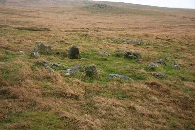

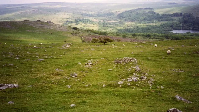
Possible Junkers 88 crash site, Burrator
Yelverton
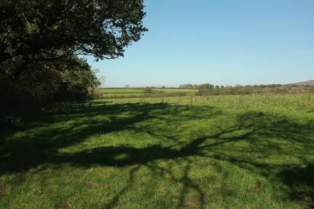
A possible crash site of a Junkers Ju 88 of KuFlGr 606 that came down near Burrator on 19 May 1941, killing all four crew. The event is documented; where it hit is not agreed.
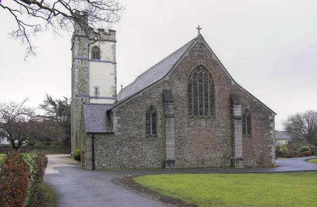
Yelverton
A possible crash site of a Junkers Ju 88 of KuFlGr 606 that came down near Burrator on 19 May 1941, killing all four crew. The event is documented; where it hit is not agreed.
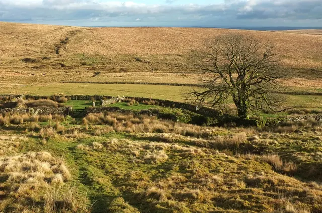
Yelverton
On Sunday 28 May 1944 a Hawker Typhoon of 263 Squadron clipped the tower of St Paul's Church, Yelverton, during a service and crashed in the fields below. The pilot was killed.
Buckfastleigh
Where a USAAF C-47 Skytrain flew into the hillside at Huntingdon Warren in mist on 13 October 1945, killing all seven aboard. A small cross made at school stands on a boulder near the ruined farm.
Ivybridge
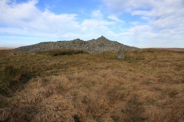
Where Vickers Wellington LN775 flew into the hillside north-east of the central barrow on Three Barrows Hill on 1 March 1944, off course on a delivery flight to Morocco. All four crew died.
Tavistock
On 30 October 1942 an RAF Liberator of 224 Squadron, out of fuel after a long patrol, crashed on the edge of Plaster Down trying to reach RAF Harrowbeer. Six of the seven crew died. The crash spot is private land; a public memorial stands on the down.
Ivybridge
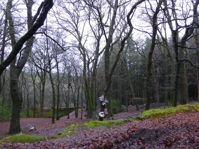
Where Short Stirling R9329 of 149 Squadron came down in Gibhill Wood near Cornwood in the early hours of 21 August 1942, lost on the way home from laying mines off Bordeaux. All seven crew died. A granite memorial stands in the wood.
Princetown, Yelverton
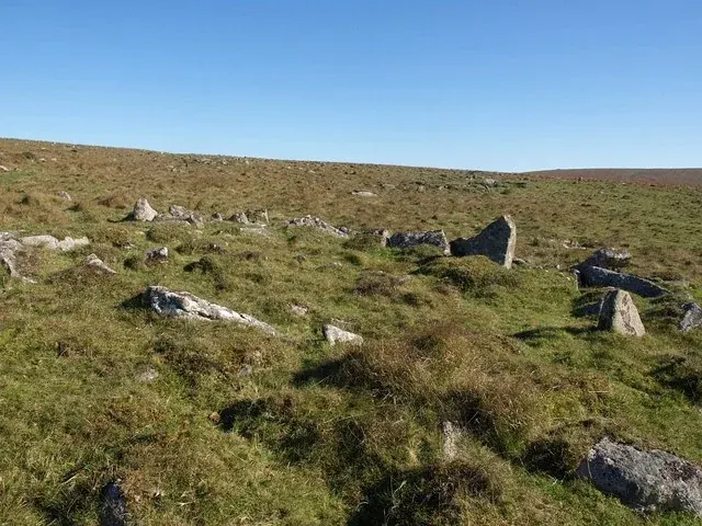
A scheduled settlement of 36 Bronze Age hut circles in an irregular field system on the west-facing slope between Hart Tor and Devil's Bridge, 18 of them dug in 1895.
Princetown, Yelverton
Three scheduled Bronze Age settlements on Walkhampton Common south-west and west of Devil's Bridge: 14 hut circles, six of them inside an enclosure.
Princetown, Yelverton
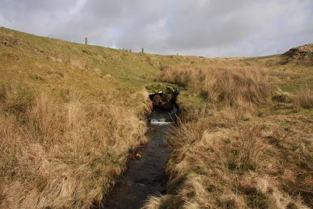
A small road bridge over the infant River Meavy on the B3212 near Princetown, hardly recognisable as a bridge, with a Bronze Age settlement landscape around it.
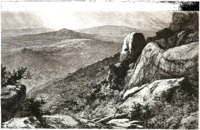
Plate from An Exploration of Dartmoor and Its Antiquities, page 286, 1889“Away to the northward is seen the boggy land in the neighbourhood of Erme Head, with the distant tors peeping over the dark brown ridges.”
Also on Our DartmoorKing's Tor — A large, finely shaped granite tor on the B3357 with two rock basins and the disused Princetown Railway looping around it.