

← Browse Prehistoric Settlements · Browse the directory
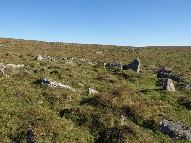
Hut circles between Hart Tor and Devil's Bridge
Princetown, Yelverton, Devon
Grid ref: SX 5813 7254
Main image: Photo: Derek Harper (CC BY-SA 2.0) via Wikimedia Commons. A hut circle north of Hart Tor, about 50 m from the southern edge of the scheduled settlement.
- Period: Bronze Age
- Status: One scheduled monument (Historic England list entry 1011174)
- Huts: 36: 35 circular and one oval
- Where: A gentle west-facing slope above the Meavy valley, 450 m north of Hart Tor and between the tor and Devil's Bridge
This is the main part of a large unenclosed settlement of stone hut circles lying between Hart Tor and Devil's Bridge. A hut circle is the low stone wall of a round house, with the floor inside; the roof of turf or thatch has gone. Historic England schedules 36 here, scattered through an irregular field system. Thirty-five are circular, with insides 2.3 m to 7 m across, and one is oval, 6.3 m by 3 m. Their walls stand 0.3 m to 1 m high, 0.58 m on average. At least seven have a hearth, two are joined together, 21 have a doorway you can still see, two have a porch, and five are built onto the field walls.
The field system is low rubble walls up to 0.5 m high. Three plots can be made out in the north, and broken lengths of wall in the south suggest more. Historic England records another eight huts of the same settlement to the south and east, each scheduled on its own.
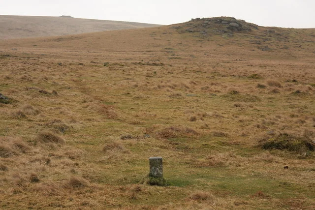
In 1895 the Dartmoor Exploration Committee dug 18 of the huts. They found a large amount of Bronze Age pottery, rubbing stones, flint scrapers, pot boilers (stones heated to boil water) and charcoal. Sabine Baring-Gould wrote up the work for the Devonshire Association (Transactions volume 28, 1896). Three 19th century granite distance markers from the old Hart Tor rifle range also stand inside the scheduled area, and are protected as evidence of the ground's later use.
The scheduled monument
| Historic England entry | Grid reference | What survives |
|---|---|---|
| 1011174 | SX 58185 72466 | 36 hut circles in an irregular field system: 35 circular, one oval 6.3 m by 3 m; 18 partly excavated in 1895; three rifle range markers inside the scheduling. |
Grid references are from the Historic England entries. Each entry covers one scheduled monument; a monument can hold several features.
Contact us if you have information about this listing
The 7 rings on this map are the separate scheduled monuments that make up this listing, placed from Historic England’s records. Tap a ring for its grid reference and a link to its official entry. The pin marks the middle of the group.
Official record
Explore the area
Go deeper with Dartefacts
Dartefacts is a database of Dartmoor sites with far more close-up detail than we can show here, and it is the best place to go deeper. Dartefacts is free to use, and nobody has to pay to look things up. If you want more, a yearly subscription adds 10-figure grid references, map zoom down to 1:25,000 and lists to tick off the places you have visited, and it helps keep the site going. We would encourage you to subscribe.
Thoughts
Be the first to share a thought about Hut circles between Hart Tor and Devil's Bridge.
Share a thoughtKnow another Dartmoor place, tor or landmark we should include? Suggest a listing, it is free.
Suggest a listing