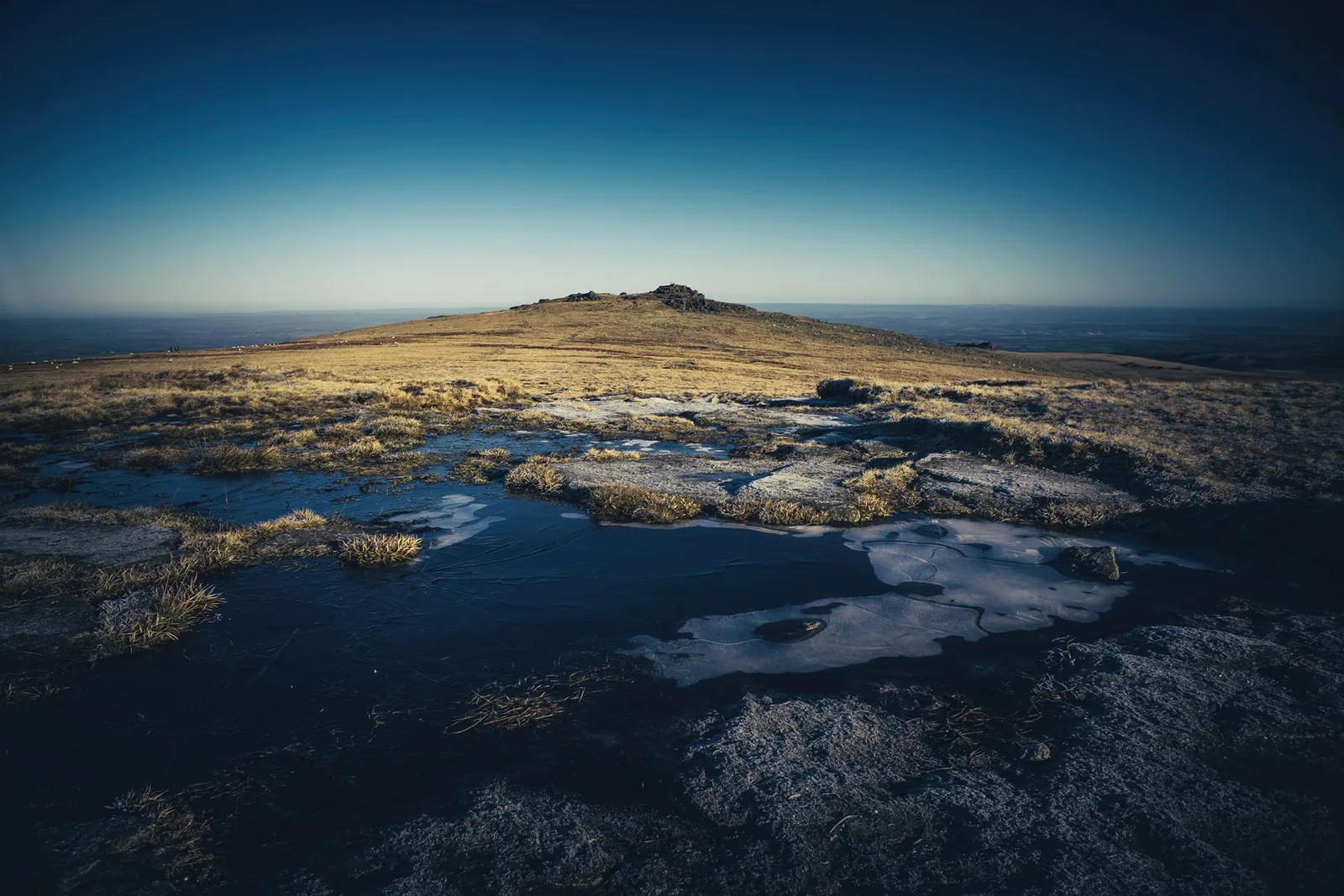
High Willhays is the highest point on Dartmoor and in southern England, at 621 metres (2,037 feet). It stands on the ridge above the West Okement valley, about a kilometre south of Yes Tor, which is only a few feet lower. The Ordnance Survey figures supplied to Page in 1888 give 2,039 feet for High Willhays and 2,030 for Yes Tor. For years Cosdon Beacon had been taken for the highest point, and Page writes in 1889 that recent surveys showed six summits above it, High Willhays first among them.
The cairns on the ridge
Historic England schedules five cairns within about a kilometre of the summit, each with its own record. They are listed here from the top outwards.
A tor cairn is a bank of stones built against a natural rock outcrop. It is not the same thing as the loose pile of stones on the top of the summit tor.
The pile on top
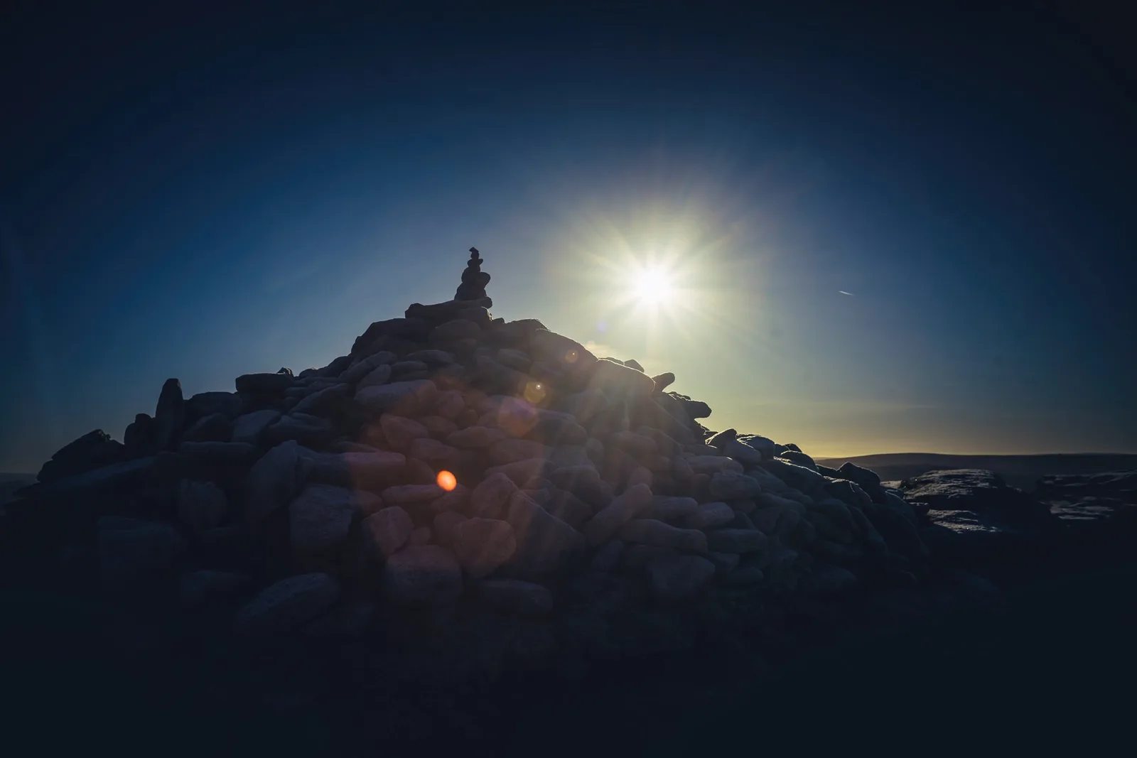
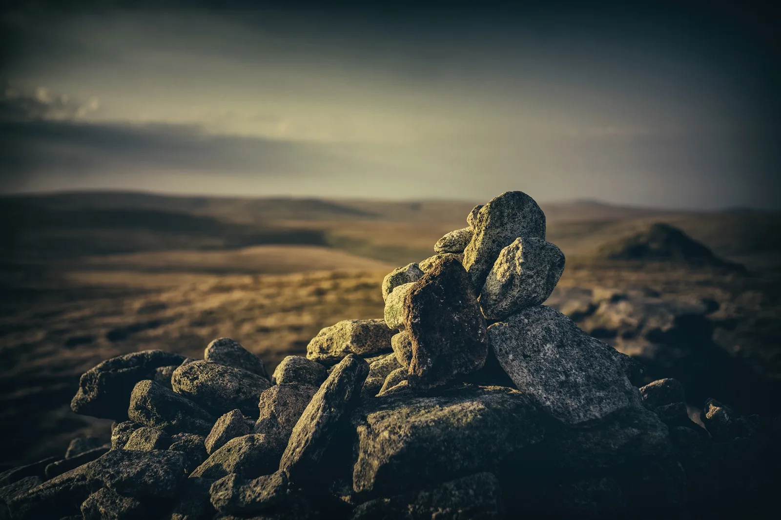
The conical heap of stones on the highest rocks is not one of the scheduled cairns. The Pastscape survey of the summit, as quoted on the Modern Antiquarian site, describes a semicircle of leaning upright stones east of the summit tor, suggestive of a ring cairn, and says the outcrop is crowned by a recent walkers' cairn that presumably contains material from that feature (field investigation by English Heritage and Probert, 2003). Visitors who photographed it in 2011 and 2014 also call it modern. No source I have found dates the heap or says who built it, so it is best read as a modern pile that may contain older stone.
Earlier records point to older remains here. Page, writing in 1889, notes the almost obliterated traces of what seems to have been a circular barrow, edged with thin flat stones, between Yes Tor and High Willhays, and piles of loose stones near the Yes Tor summit that apparently mark the sites of rifled cairns.
Before you go
High Willhays and Yes Tor lie inside the Okehampton military range. Check the firing times before you set out, and keep out when the red flags are flying. See Okehampton Range for the surrounding observation posts.
Dartefacts is a database of Dartmoor sites with far more close-up detail than we can show here, and it is the best place to go deeper. Dartefacts is free to use, and nobody has to pay to look things up. If you want more, a yearly subscription adds 10-figure grid references, map zoom down to 1:25,000 and lists to tick off the places you have visited, and it helps keep the site going. We would encourage you to subscribe.
“They would always time their departure from Princetown so as to clear the pixie-haunted moor before dark, and from the upper windows of the prison one might watch them winding the distant mule tracks sinuously like torpid snakes.”
Also on Our Dartmoor26-29, Chapel Street — A Grade II* listed building on Chapel Street, likely dating from the 17th or 18th century.
Dartmoor quizPhotograph by Glavind Strachan Photography
Which Dartmoor tor is this?
Know another Dartmoor place, tor or landmark we should include? Suggest a listing, it is free.
Our Dartmoor doesn't track you and runs no adverts. We use one cookie to make the
site work, and some pages load videos, maps or optional social media panels from other sites, the panels only if you choose to show them.
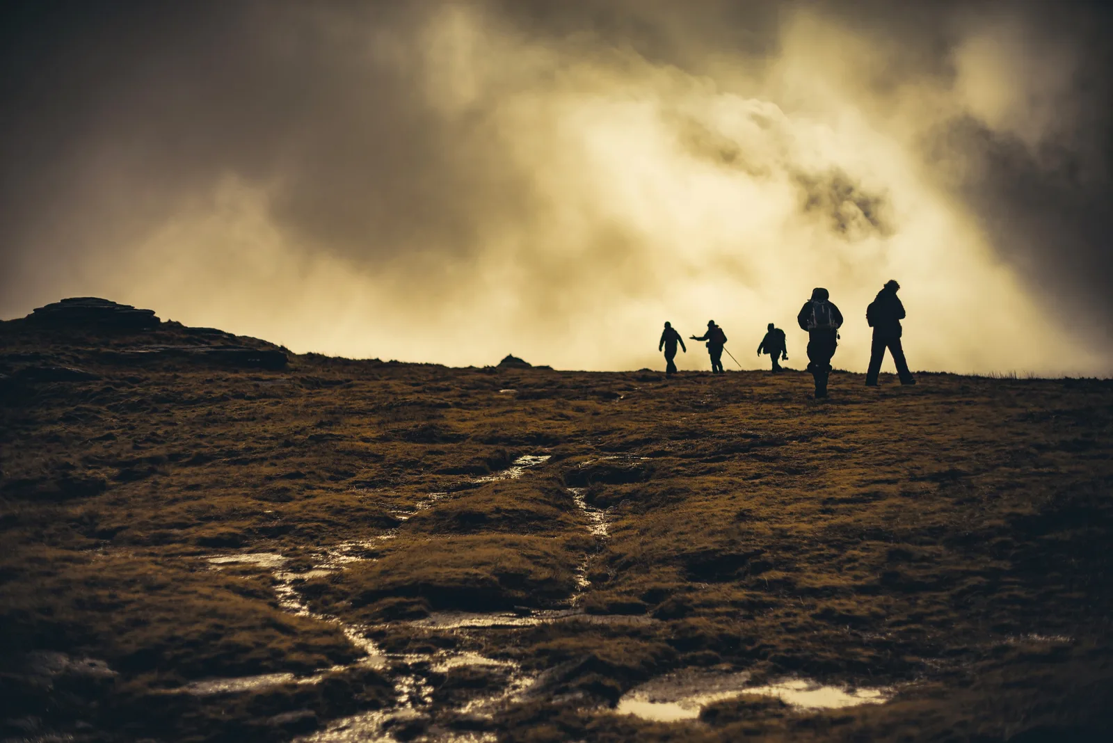
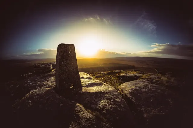



 Photograph by Glavind Strachan Photography
