

← Browse Other Heritage Sites · Browse the directory
Main image: Photo: Guy Wareham (CC BY-SA 2.0) via Wikimedia Commons
- Where: North Dartmoor, south of Okehampton
- Area: About 6,180 hectares (the Okehampton Training Area)
- Used by the army since: 1873 (the artillery camp from 1876)
- Heritage sites recorded: 272, of which 56 are scheduled monuments
- Observation posts: 22 numbered; seven still standing
- Access: Live-firing area: check the firing programme and the flags before you go
The Okehampton Range is the army's northern artillery range on Dartmoor, and the one with the biggest set of military buildings and earthworks left on the moor. The 2014 survey for the Ministry of Defence called it the finest collection of military structures and earthworks on Dartmoor. The range sits on the Forest of Dartmoor and the common land of Throwleigh, Gidleigh, Belstone and Okehampton, and the Duchy of Cornwall owns the land the army leases.
How it began
The army first came in 1873, with the Duchy's permission, for large manoeuvres around the south-west of the moor, with units arriving by train. In 1875 two members of an artillery committee looked for a place to train field guns. They picked Okehampton for its camping ground, its water, and a railway station a quarter of a mile away. The Royal Artillery pitched camp on Halstock Down in the summer of 1876, at first for three weeks and later for six.
The Drill Ground Act of 1886 gave the War Department powers to buy land for ranges. By 1895 it held the leases it needed: the northern quarter of Okehampton Forest, about fifteen square miles, and a permanent camp of 90 acres at the foot of Black Down. Firing ran from May to September, in a zone from Sourton Tors in the west to Watchet Hill in the east. In 1897 the people of Belstone objected to the noise from Watchet Hill and firing from there stopped. The firing point for the longest range later moved to Scarey Tor.
Okehampton became the summer base of the School of Gunnery, and in its day the most important practice camp in the country. Batteries came by rail with their own horses and guns. Targets were fixed boards cut to the shape of soldiers, moving targets on railways, and targets that rose and vanished on wires.
What is left
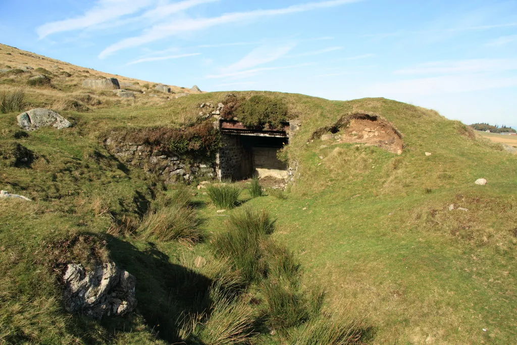
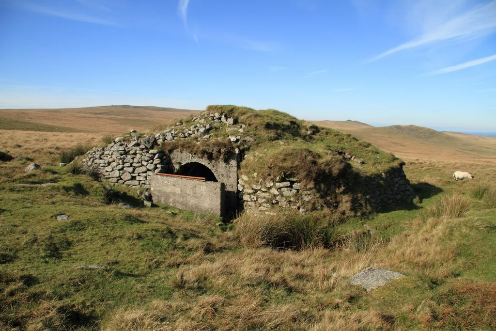
The posts where officers watched the fall of shot are the most striking survivors. They were built of concrete and stone, some of timber, and banked with earth and turf against blast. Of the 22 numbered posts only seven are still standing, and some of those are slowly wearing away. The others have been demolished and leave little behind; at Dinger Tor, OP 20, there is no trace at all. The rest of the range is a mix of firing points, redoubts and trenches, target railways, splinter-proof shelters, military roads and boundary stones marked WD. One target railway on West Mill Tor is disused but almost whole, with its rails and the shed for its engine. On Black Down another runs for about a kilometre. In the East Okement valley a concrete target shed was later turned into a post. Two granite bridges on military roads, at East Okement and over Black-a-ven Brook, still carry traffic.
Historic England now has entries for several of these structures: OP 6, OP 7, OP 16, the F Range target railways and the experimental parapets on East Mill Tor. They are linked in the table below and from the pages listed under related places.
Going there
Most of the range is open access land, but not when the army is firing. Red flags by day and red lamps at night mean live firing: do not cross the red and white boundary poles. Firing is notified in six-week programmes on the government's firing programme page, and the public access guidance explains the rules and the byelaws. Check before every visit.
The twenty-two observation posts
Grid references are from the 2002 appraisal of the range. The six-figure ones are accurate to about 100 m. Only the posts with a good photograph of their own have a page on this site; the rest are listed here until we can photograph them.
Contact us if you have information about this listing
The 21 rings on this map are the separate scheduled monuments that make up this listing, placed from Historic England’s records. Tap a ring for its grid reference and a link to its official entry. The pin marks the middle of the group.
Official record
Explore the area
Go deeper with Dartefacts
Dartefacts is a database of Dartmoor sites with far more close-up detail than we can show here, and it is the best place to go deeper. Dartefacts is free to use, and nobody has to pay to look things up. If you want more, a yearly subscription adds 10-figure grid references, map zoom down to 1:25,000 and lists to tick off the places you have visited, and it helps keep the site going. We would encourage you to subscribe.
Thoughts
Be the first to share a thought about Okehampton Range.
Share a thoughtKnow another Dartmoor place, tor or landmark we should include? Suggest a listing, it is free.
Suggest a listing