
Other Heritage Sites
Huts and fields NE of Rippon Tor
Scheduled Monument: Bronze Age huts and enclosed fields northeast of Rippon Tor.


Showing listings tagged “Scheduled Monument” Show all listings
Scheduled Monument: Bronze Age huts and enclosed fields northeast of Rippon Tor.

Scheduled monument marking the site of ice-working activity on Sourton Tors, likely medieval or later in date.

Bronze Age settlement of stone hut circle and field system on the open moor north east of Dunnabridge.

Bronze Age settlement and later farmstead east of Raddick Lane, with stone hut circles and field systems.
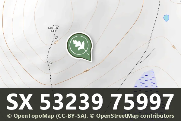
Bronze Age field system and First World War military remains on the open moor near Cox Tor.

Bronze Age cairns and medieval farmstead within a reave system on Dartmoor.

Layered settlement landscape spanning prehistoric cairns, medieval farmstead, and tinworks remains north of Gibby Coombe.

Remains of a medieval rural settlement on the eastern slopes of Dartmoor, now visible as earthwork features across open moorland.

Remains of a medieval settlement scattered across the hillside north east of Lowery Tor, a Scheduled Monument on open moorland.
