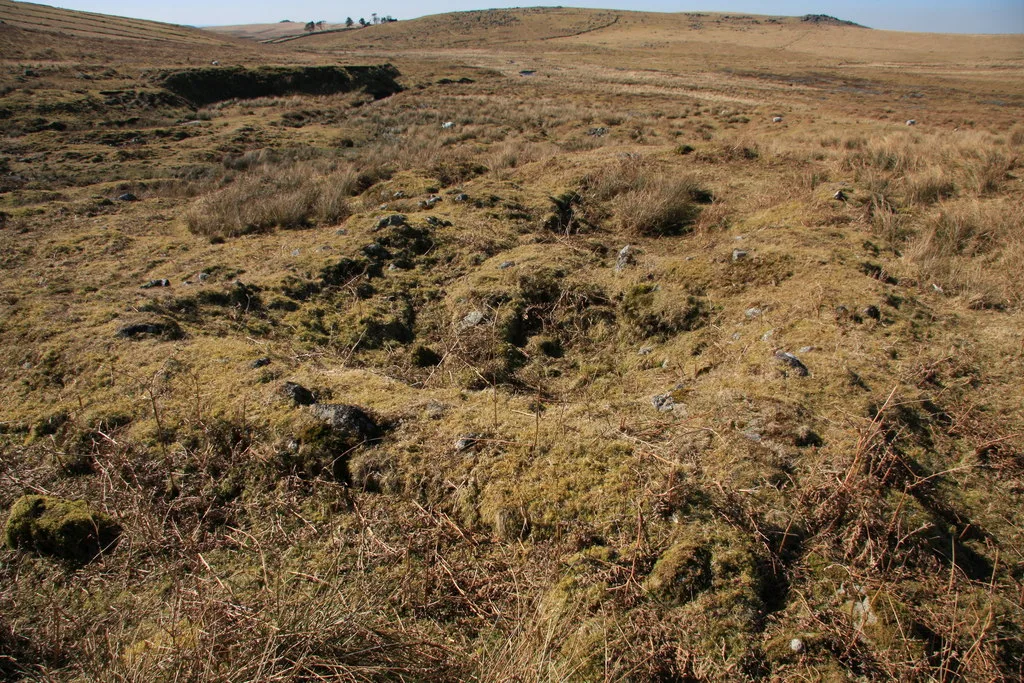
Historic England's scheduling record (list entry 1015745) describes a historic settlement, at least two fields, part of a tin openwork and several prospecting features on the north side of the Shavercombe Brook. It lies in the parish of Shaugh Prior, about 0.9 km east of Eastern Tor.
The settlement is a small, well-preserved rectangular building of two rooms, with two outside annexes and an attached yard. The drystone walls are 1.2 metres wide with clear faces, especially on the north-east side of the north-west room. The partition is 13.2 metres from the north-west end, and a dip at the south-west end may mark a doorway between the rooms. There are two possible outside entrances, both into the larger north-west room. One is a 0.9 metre gap in the north-east wall, 3.8 metres from the end. The other, more convincing, is a 0.8 metre gap in the south-west wall, 7 metres from the end, edged with regular masonry on its south-east side. Two small square annexes are attached to the outer face of the south-west wall either side of that entrance: the larger encloses 2.5 by 3 metres inside a wall 1.2 metres wide, and the smaller 1.8 metres square inside a wall 0.6 metres wide. The yard at the south-east end is 15 metres by 14 metres inside a rubble wall 2.6 metres wide and 0.3 metres high. A boundary bank 1.5 metres wide and 0.2 metres high leads north-east from the yard, with a ditch 2 metres wide and 0.3 metres deep beside it, cut off at its north end by the tin openwork.
The settlement sits in a larger field, 95 metres by at least 125 metres, bounded by a rubble wall 3 metres wide and up to 0.5 metres high, which the openwork also cuts. Narrow shallow gullies inside it are probably prospecting trenches. The building may be Hentor Cot, home of a farm labourer employed by Peter Nicholls of Hentor Farm in the early 19th century, but the settlement is probably older. The field was probably out of use by the 19th century. The openwork, dug by opencast quarrying for tin ore, survives as a steep-sided gully 5 metres deep and 20 metres wide, with narrower, shallower gullies on its south side that are probably prospecting trenches made with running water. The monument is in the care of the Secretary of State.
Sources: Historic England list entry 1015745, which cites Thackray, The Upper Plym Valley (1994), Archaeological Site Inventory.
- Period: Medieval
- Status: Scheduled monument (Historic England list entry 1015745)
- Grid reference: SX 5936 6657 (approximate, from the listing's coordinates)
Historic England listed designation: Historic settlement, fields and tin openwork at Shavercombe Foot 400m north of Shavercombe Tor