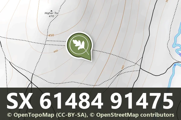
Three unenclosed hut circles south-east of Higher Tor
Three unenclosed hut circles of upright-stone walls, 32 to 50 square metres inside, on the south-east slope of Higher Tor.
Dartmoor's archaeology and heritage - antiquities, historic buildings and museums.
Three unenclosed hut circles of upright-stone walls, 32 to 50 square metres inside, on the south-east slope of Higher Tor.

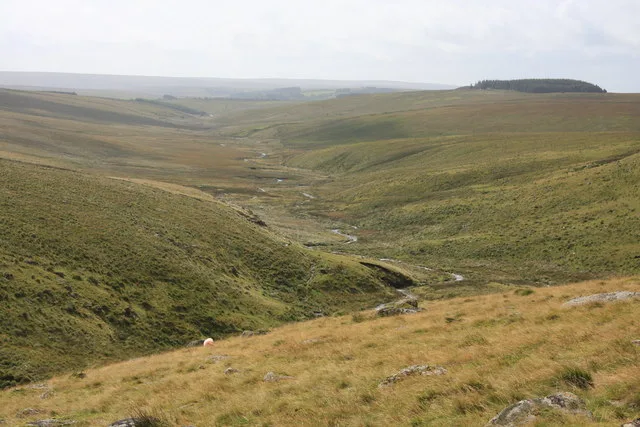
Which Dartmoor tor is this?
Scheduled monument combining tin extraction workings, processing mill and post-medieval farm buildings on Dartmoor's moorland edge.
A small tinners' building, a rectangle 5 m by 2.3 m in two rooms, beside the Brim Brook and West Okement River.
A tor cairn 180 m north of the High Willhays summit: a curved bank 1.5 m wide against the south face of a rock outcrop, partly faced with flat slabs, enclosing 10 m by 7 m.
A tor cairn of two rubble banks built against a granite outcrop up to 3 m high, enclosing an area 15 m by 12 m, on the summit of Corn Ridge.
A prehistoric circular earthwork on the moorland northeast of Kelly College, likely an Iron Age or Bronze Age settlement.
Bigadon, Buckfastleigh
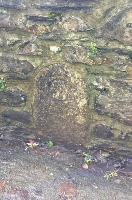
A boundary marker stone set into a moorland wall, marking historic land division on the slopes south west of The Rock.
Two adjoining hut circles, 8 m and 9 m across, above the right bank of Red Brook, the downstream one with an entrance flanked by upright stones.
Two joined stone hut circles, 3.5 m and 2 m across, terraced into the south-east slope of Conies Down Tor, 30 m west of an enclosed settlement.
Photograph by Glavind Strachan Photography“I may be mistaken, but it seems to me that cooking done over a peat fire surpasses cooking at the best club in London.”
Also on Our DartmoorThree round barrows E of Grenna Ball — Three Bronze Age burial mounds east of Grenna Ball, remnants of Dartmoor's prehistoric ritual landscape.