Medieval settlement near Hartyland
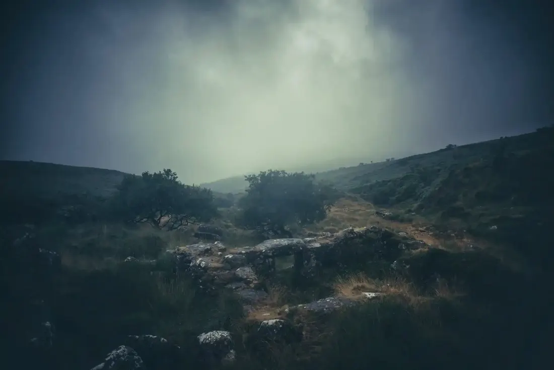
Remains of a medieval rural settlement on the eastern slopes of Dartmoor, now visible as earthwork features across open moorland.
Hut circles, enclosures, pounds and reaves - where prehistoric Dartmoor lived and farmed.
Remains of a medieval rural settlement on the eastern slopes of Dartmoor, now visible as earthwork features across open moorland.
Two enclosures, 230 m by 130 m and 200 m by 115 m, with seven hut circles and three round cairns, and 330 m of reave, on the south-west slope of Nattor Down.
A rubble boundary bank 1,150 m long enclosing a huge stock pound, with thirteen hut circles and a round cairn, on the west slope of Nattor Down and Hamlyn's Newtake.
Two joined enclosures with six hut circles, 2.7 to 4.2 m across, on a north-facing slope above Newleycombe Lake.
Three joined enclosures and ten hut circles on the head of Newleycombe Lake, with a round cairn, a pillow mound and a lode-back tin working.
Prehistoric field boundaries and later settlements on the high moor between Shovel Down and Long Ridge.
Two hut circle settlements and a kerbed cairn 4.9 m across on the east slope of Oke Tor above the Taw: a northern one of two enclosures and four huts, and a southern one of six enclosures and four huts.
A hut circle 6.5 m across inside with a wall 2.7 m wide and a south doorway, on the west edge of a large settlement above the Meavy.
An oval enclosure, 39 m by 29 m, with up to four stone hut circles, and an outlying hut 60 m to the north-west, near the Middle Brook and the Bala Brook.
Blowing House beside the River Meavy. Photograph by Glavind Strachan Photography“I never don't like two faces under one hat.”
Also on Our DartmoorErme Pits — Scattered stone ruins of 19th-century tin and china clay workings on open moorland, revealing Dartmoor's industrial past.