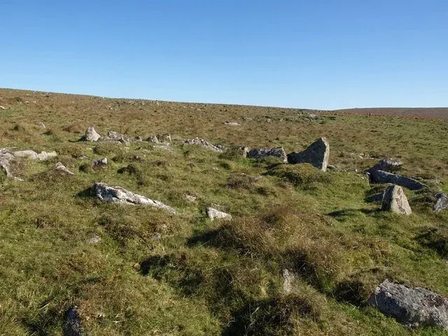
Hut circle west of High-house Waste
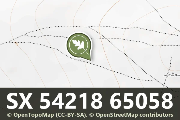
A hut circle 9 m across inside with a wall 1 m thick and 0.6 m high and a probable south-east entrance, west of High-house Waste.
Hut circles, enclosures, pounds and reaves - where prehistoric Dartmoor lived and farmed.
A hut circle 9 m across inside with a wall 1 m thick and 0.6 m high and a probable south-east entrance, west of High-house Waste.
Bridestowe, Okehampton
A Bronze Age settlement of hut circles and two circular enclosures on the west-facing slope below Great Nodden, above the River Lyd, with two outlying huts.
Two stone hut circles, an enclosure and a length of reave in a coaxial field system on the northern slopes of Combestone Tor above the Dart.
Two stone hut circles, 7.5 m and 6.5 m across, and small fields at the edge of the Dartmeet coaxial field system east of Mel Tor.
A settlement in the middle of Wigford Down: two hut circles joined by a double-walled droveway, and a medieval longhouse with a stone cut JTCP.
Dartmoor Forest, Tavistock
Eight scheduled monuments east of Merrivale Bridge: a large partially enclosed Bronze Age hut circle settlement of at least 36 huts, its outlying huts and enclosure, and two isolated huts on Longash Common.
Princetown, Yelverton
A scheduled settlement of 36 Bronze Age hut circles in an irregular field system on the west-facing slope between Hart Tor and Devil's Bridge, 18 of them dug in 1895.
Two stone hut circles, each about 6 m across inside, on the lower western slopes of Honeybag Tor in the East Webburn valley.
Bronze Age settlement of hut circles on the moorland southeast of Yar Tor, visible as earthwork remains.
Devils elbow. Photograph by Glavind Strachan Photography“Not a lone hill surrounded by bogs is without its great mound of earth or pile of stones over some dead man.”
Also on Our DartmoorMerrivale Stone Circle — A ring of 11 low stones, 18.5 m across, on Longash Common: the stone circle beside Merrivale's stone rows.