

← Browse Prehistoric Settlements · Browse the directory
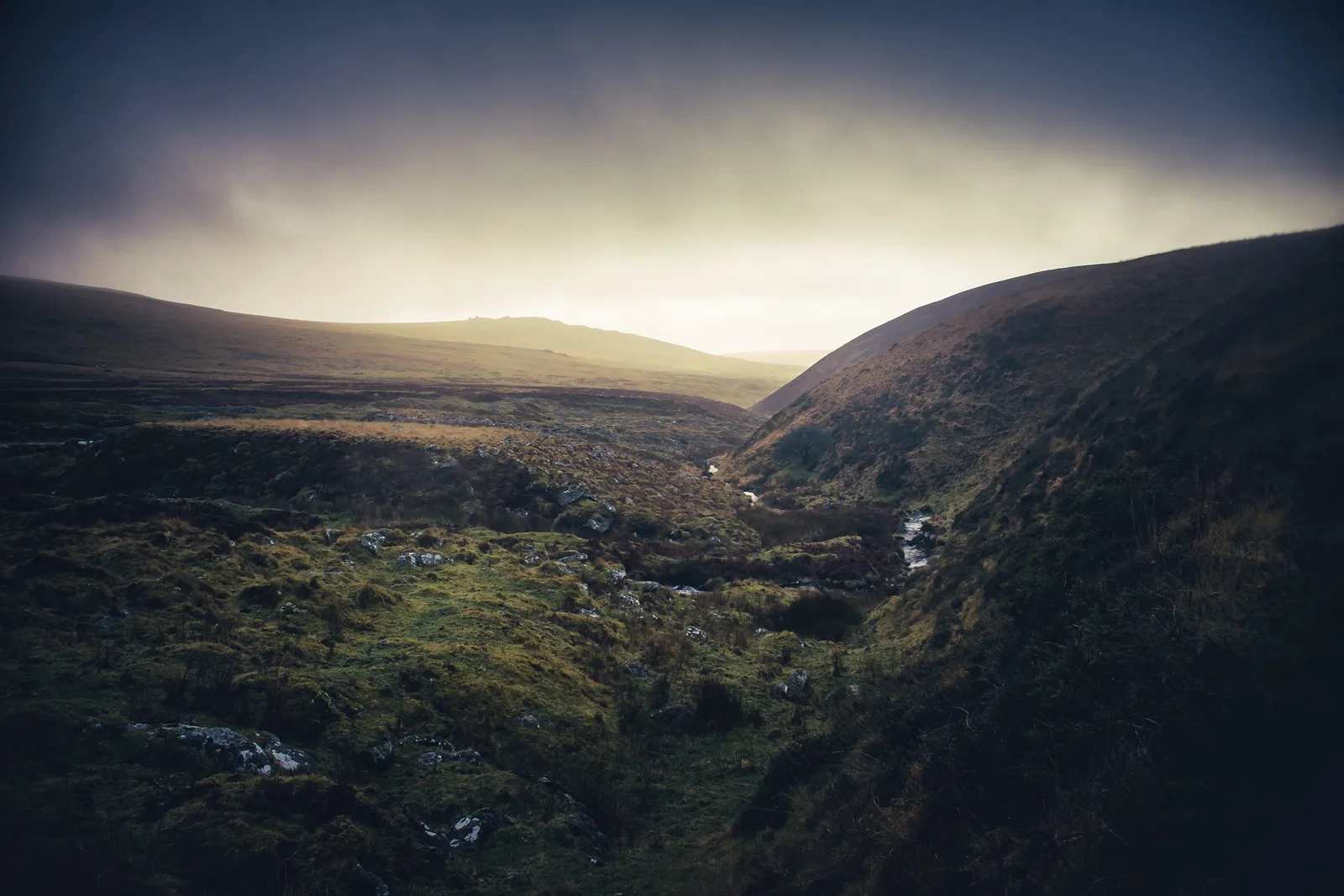
Hut circles and enclosures near Great Nodden
Bridestowe, Okehampton, Devon
Grid ref: SX 5417 8722
Main image: Photograph by Glavind Strachan Photography
- Period: Bronze Age
- Status: Three scheduled monuments (Historic England entries listed below)
- Where: The west-facing slope 330 m to 400 m south-east of Great Nodden, above the River Lyd
On the west-facing slope below Great Nodden, looking down to the valley of the River Lyd, Historic England records a settlement of stone hut circles and two circular enclosures. A hut circle is the low stone-and-earth wall of a round house, with the floor inside; the roofs were turf or thatch and have gone. The main monument, 330 m south-east of the summit, has six hut circles and two enclosures. The southern enclosure measures 38 m by 36 m inside, with a wall 1.7 m wide and 0.6 m high, and the northern one is 35 m across with a wall of the same width. Two huts are joined to the southern enclosure's wall, which suggests the huts came first. One of them has two rooms, 6 m and 3.9 m across. A ring of stones beside the northern enclosure's entrance probably marks another hut, and at least three huts stand unenclosed between the two enclosures, one with a doorway lined with slabs and facing west-south-west.
Two more huts lie on the eastern edge of the settlement and are scheduled on their own: one 4.8 m across inside, with its doorway facing south-west, and an oval one 5 m by 4 m.
The three scheduled monuments
| Historic England entry | Grid reference | What survives |
|---|---|---|
| 1008653 | SX 54125 87235 | The largest part of the settlement: six hut circles and two circular enclosures, with a ring of stones that may be a seventh hut and at least three unenclosed huts between the enclosures. |
| 1008654 | SX 54183 87222 | An outlying hut on the eastern edge, 4.8 m across inside, with a wall 1.7 m wide and up to 0.5 m high and a doorway facing south-west. |
| 1008655 | SX 54217 87214 | An outlying oval hut on the eastern edge, 5 m by 4 m inside, with a wall 1.5 m wide and up to 0.3 m high. |
Grid references are from the Historic England entries. Each entry covers one scheduled monument; a monument can hold several features.
Contact us if you have information about this listing
The 3 rings on this map are the separate scheduled monuments that make up this listing, placed from Historic England’s records. Tap a ring for its grid reference and a link to its official entry. The pin marks the middle of the group.
Official record
Explore the area
Go deeper with Dartefacts
Dartefacts is a database of Dartmoor sites with far more close-up detail than we can show here, and it is the best place to go deeper. Dartefacts is free to use, and nobody has to pay to look things up. If you want more, a yearly subscription adds 10-figure grid references, map zoom down to 1:25,000 and lists to tick off the places you have visited, and it helps keep the site going. We would encourage you to subscribe.
Thoughts
Be the first to share a thought about Hut circles and enclosures near Great Nodden.
Share a thoughtKnow another Dartmoor place, tor or landmark we should include? Suggest a listing, it is free.
Suggest a listing