

← Browse Prehistoric Settlements · Browse the directory

Oke Tor east slope: two hut circle settlements and a kerbed cairn
Grid ref: SX 6155 8957
Main image: Photo: Dylan Inglis, Wikimedia Commons
Historic England's scheduling record (list entry 1016640) describes two partly enclosed hut circle settlements and a round cairn on the east slope of Oke Tor, above the valley of the River Taw. The scheduling falls into eight areas. It lies in the parish of Dartmoor Forest, about 0.9 km north of Steeperton Tor.
The northern settlement has two enclosures and four huts. The northern enclosure links two huts, the southern holds one, and the fourth lies between them. A length of reave of about the same date leads towards the northern enclosure. The southern settlement has at least six enclosures, mostly agglomerated and partly buried under peat, with four huts. The huts in both are circular or oval banks round spaces of 6 to 32 square metres, averaging 13, with walls 0.3 to 0.8 metres high. Two have an annex, one has a visible doorway and four are butted by enclosure walling.
Midway between the two settlements is a flat-topped cairn 4.9 metres across and up to 0.7 metres high, ringed by a kerb of at least eight edge-set stones. It does not appear to have been investigated by antiquarians.
Sources: Historic England list entry 1016640, which cites fieldwork for the Monuments Protection Programme by S. Gerrard (1998).
- Period: Bronze Age
- Status: Scheduled monument (Historic England list entry 1016640)
- Grid reference: SX 6155 8957 (approximate, from the listing's coordinates)
Contact us if you have information about this listing
Official record
Explore the area
Go deeper with Dartefacts
Dartefacts is a database of Dartmoor sites with far more close-up detail than we can show here, and it is the best place to go deeper. Dartefacts is free to use, and nobody has to pay to look things up. If you want more, a yearly subscription adds 10-figure grid references, map zoom down to 1:25,000 and lists to tick off the places you have visited, and it helps keep the site going. We would encourage you to subscribe.
More Dartmoor resources
Thoughts
Be the first to share a thought about Oke Tor east slope: two hut circle settlements and a kerbed cairn.
Share a thought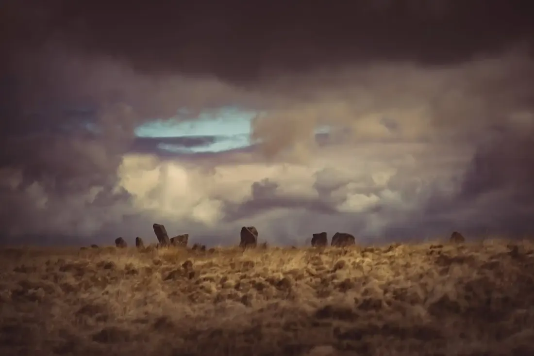 White Moor Stone Circle. Photograph by Glavind Strachan Photography
“It struck me as something new in farming, and I was going to ask him what there was in it that he paid a labourer to hoe his stubbles.”
Also on Our DartmoorCairns, cist and standing stone west of Bellever Tor — An outlying group beside Bellever Forest: a kerbed cairn 7.7 m across with a robbed cist 1.4 m long, a smaller cairn, and a 0.95 m standing stone 6.6 m away, cist dug before 1901.
Know another Dartmoor place, tor or landmark we should include? Suggest a listing, it is free.
Suggest a listing