
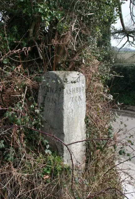
Direction Post
Trumpeter, Bovey Tracey
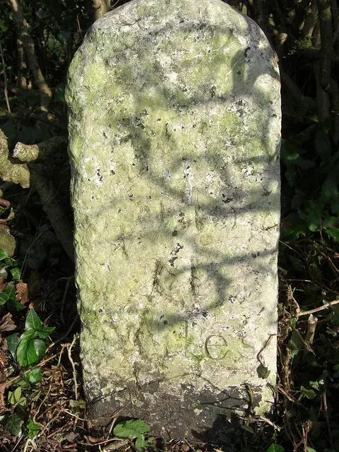
A stone direction post marking the junction of the lane from Ilsington Methodist Church and the route to Lewthorn Crossroads.
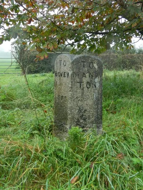
Trumpeter, Bovey Tracey
A stone direction post marking the junction of the lane from Ilsington Methodist Church and the route to Lewthorn Crossroads.
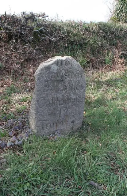
Higher Sigford, Bovey Tracey
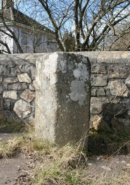
A stone direction post at a remote five-way junction on Dartmoor, marking routes across the high moor.
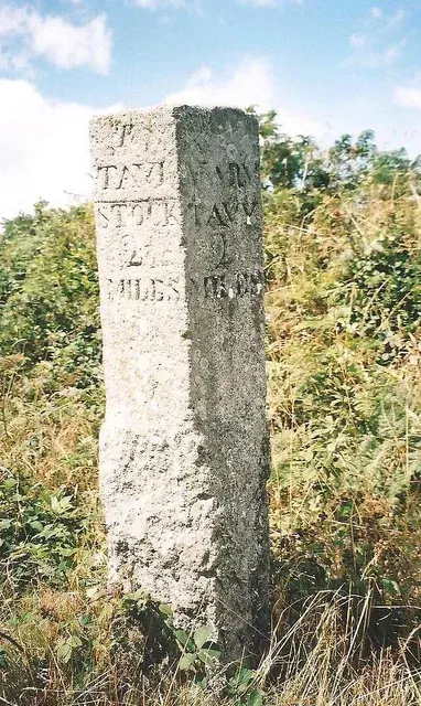
Peter Tavy, Tavistock
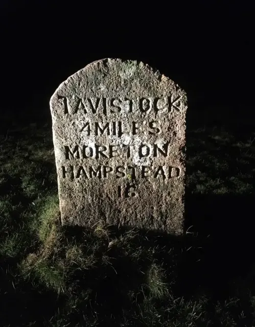
A milestone marking distances on the roads crossing Dartmoor's high moorland.
What is the earliest known source for the legend of Old Crockern?
Pridhamsleigh, Buckfastleigh
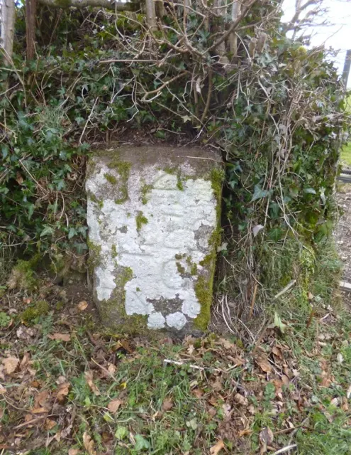
A roadside milestone marking distances, standing on the lane north of Furzeleigh Mill in rural Dartmoor.
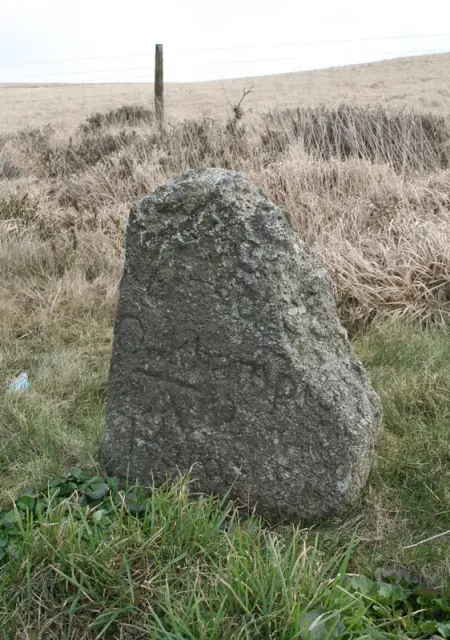
Peter Tavy, Tavistock
A stone boundary marker on the open moor, marking historic land divisions across Dartmoor's upland landscape.
Merrivale, Tavistock
Listed building on Dartmoor. Historic England list entry 1105716.
Moorshop, Tavistock
A modest stone milestone marking distance and route on the open moor, typical of Dartmoor's network of travelling aids.
Mary Tavy, Tavistock
A stone milestone marking distances on the old routes crossing Dartmoor, likely from the 18th or 19th century.
Lane End, Tavistock
A roadside milestone marking distance and direction on the open moor, likely dating from the turnpike era.
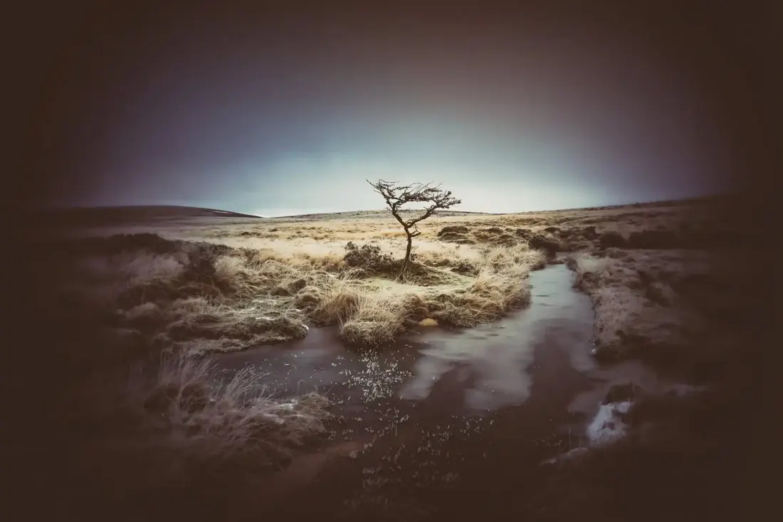
Frozen Wallabrook. Photograph by Glavind Strachan Photography“Being in nature relaxes my body and mind. Daily stresses melt away and my senses come alive as I feel the warmth of the sun on my face and wind in my hair, the springy moss grasses under my feet, and hear the song of the skylark high above me.”
Also on Our DartmoorRound cairn south of Sourton Tors — A round cairn 9.3 m across and 0.7 m high on a west-facing slope above Bridestowe, with hollows from early digging or robbing.