

← Browse Milestones & Boundary Markers · Browse the directory
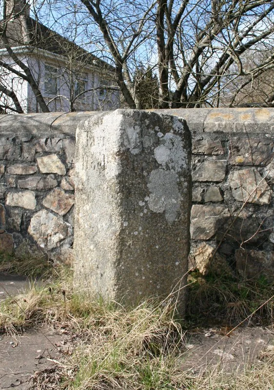
Boundary Stone, Ngr 503 767
Peter Tavy, Tavistock, Devon
Grid ref: SX 5022 7668
On walking routes: West Devon Way
Main image: Old Boundary Marker by the A386, Half Bridge - 1 metres from location - image by Alan Rosevear (CC BY-SA 2.0), via Wikimedia Commons
- Status: Listed building (Historic England list entry 1305528)
- Grid reference: SX 5022 7668 (approximate, from the listing's coordinates)
The full official description is in the Historic England record linked above.
Historic England listed designation: Boundary Stone at Ngr 503 767


Official record
Explore the area
Thoughts
Be the first to share a thought about Boundary Stone, Ngr 503 767.
Share a thoughtKnow another Dartmoor place, tor or landmark we should include? Suggest a listing, it is free.
Suggest a listing