

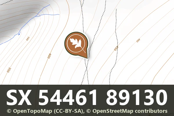

Historic England's scheduling record (list entry 1007823) describes a round cairn on a gentle west-facing slope overlooking Bridestowe village. The mound is 9.3 metres across and up to 0.7 metres high. A shallow hollow in the middle and another on the west edge suggest partial early excavation or robbing. It lies in the parish of LCPs of Bridestowe and Sourton, about 1.3 km north-west of Gren Tor and 1.5 km south-east of Sourton.
Sources: Historic England list entry 1007823, which cites Butler, Dartmoor Atlas of Antiquities (1991), page 221, and fieldwork for the Monuments Protection Programme by S. Gerrard.
- Period: Bronze Age
- Status: Scheduled monument (Historic England list entry 1007823)
- Grid reference: SX 5446 8913 (approximate, from the listing's coordinates)
