Tors & Landmarks
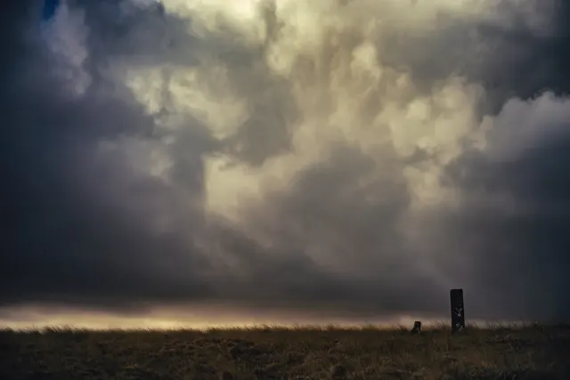
Hartor Corner
Okehampton
A distinctive corner on Dartmoor, marked by a prominent rock formation and a historic track nearby.


Named tors, hills and other landmarks on Dartmoor. Browse the tors or the hills and mounds, or use the map below to see everything at once.
Okehampton
A distinctive corner on Dartmoor, marked by a prominent rock formation and a historic track nearby.
Lustleigh
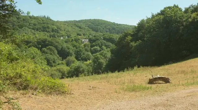
Hatherleigh Tor is a small granite peak located near Lustleigh, east of the A382. It is part of the East Dartmoor landscape, often overshadowed by more famous tors but still a notable feature.
What on Dartmoor are also been known as "the Yeth Hounds"?
Haytor Vale
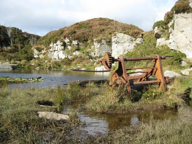
Five disused granite quarries on the east side of Dartmoor, worked from around 1820 by George Templer. Stone from here built the old London Bridge, completed in 1831, and travelled to the coast via the Haytor Granite Tramway and Stover Canal.

A massive, distinctive tor with a prominent western outcrop known as Low Man.

A modest tor with a prominent balancing boulder and traces of industrial archaeology nearby.

Hedge Down Tor sits on the northern edge of Hedge Down, accessible via ladder stiles from the west.
Bridford
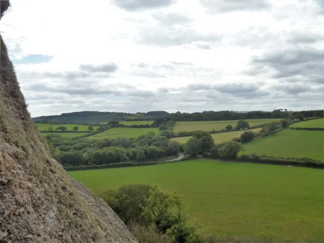
Heltor Rock, also known as Hel Tor or Whitestone, is a prominent peak near Bridford. Standing at a strategic position, it offers a commanding view of the surrounding landscape, particularly from the summit of Blackingstone Rock to the southwest.

A striking granite cone on Lee Moor, overlooking the Plym valley and surrounded by extensive clitter.
Belstone
A ford across the East Okement River on the north-east moor, passable by stone-hopping in low water but requiring a wade or diversion in spate.
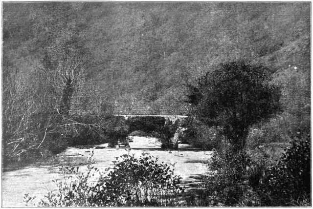 Plate from Dartmoor Illustrated, page 52, 1900
“At a hamlet near the parish of South Tawton, a small town on the borders of Dartmoor, there is an interesting story told of a ghost which assumes the form of a remarkably handsome Guernsey Cow, and appears at midnight promenading to and fro”
Also on Our DartmoorPrehistoric and medieval fields south-west of White Tor — An irregular field system of over ten plots, two hut circles and a later rectangular field 190 m by 100 m, on a south-west slope above the Colly Brook.
