

← Browse Throwleigh · Browse Tors & Landmarks · Browse the directory
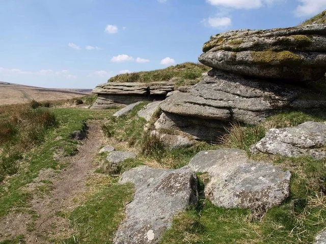
Hound Tor, Throwleigh
Throwleigh, Okehampton, Devon
Grid ref: SX 6288 8901 Find this on the Map Reference Finder
Main image: Photo: Derek Harper, Wikimedia Commons
- Parish: Dartmoor Forest (on the edge of Throwleigh parish)
- Height: 495 m
- Grid reference: SX 6288 8899
- Rock: Granite
- Also called: Round Tor
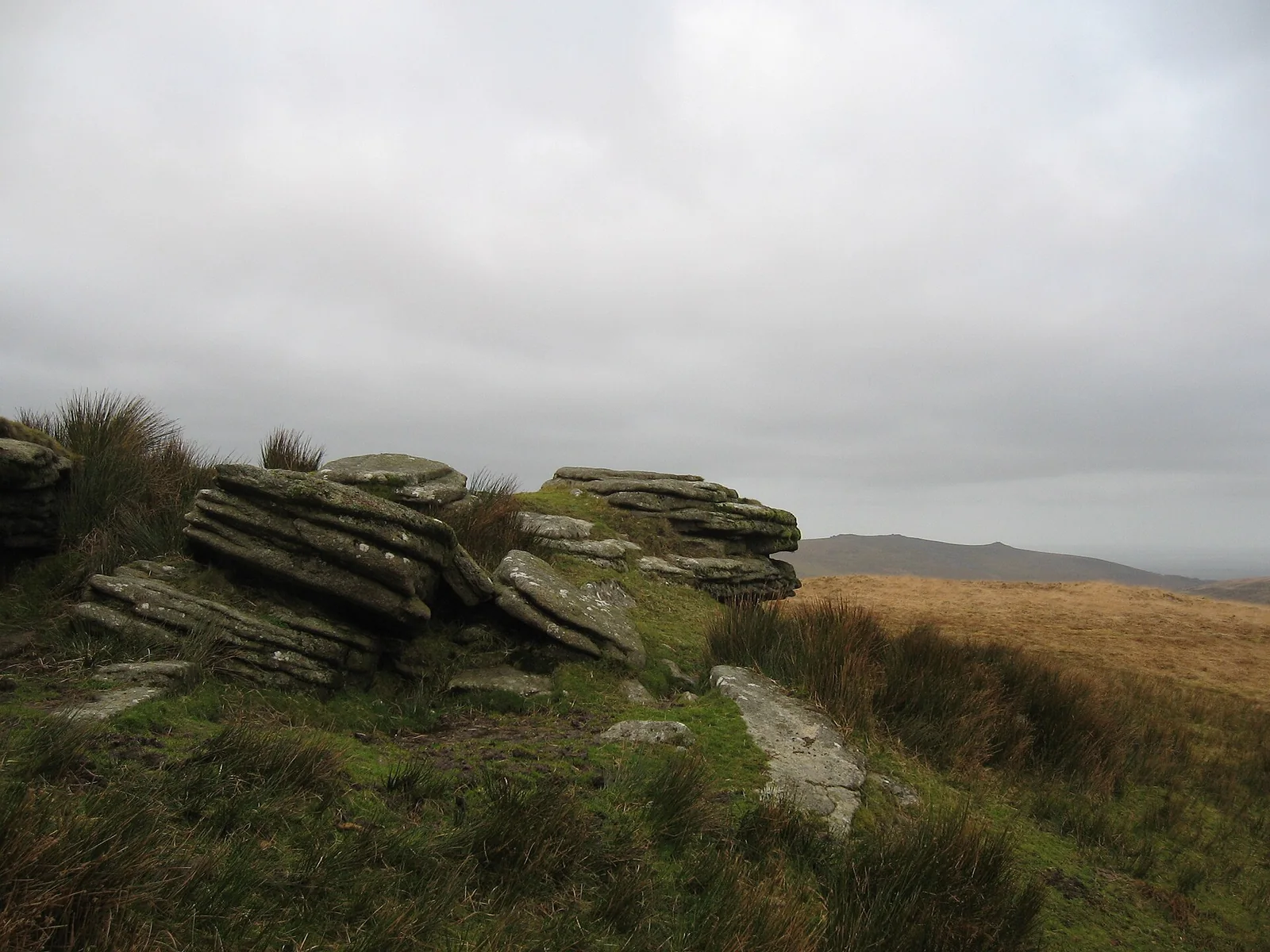
Hound Tor at Throwleigh is a low, grass-topped outcrop of granite at 495 m, on the high ridge that runs between Cosdon and Hangingstone Hill, roughly halfway between the two. The tor itself is small and covers a modest area, and it looks more striking from a distance, where from the south it can pass for a dark mound. The steepest drop is on the east side, an elongated outcrop with repeated horizontal joints, with a large TP cut deep into the face, a mark of Throwleigh parish. That mark is why Throwleigh is in the name: the tor stands on open moor, a good way from Throwleigh village.
Eric Hemery called it Round Tor, a name he said local moormen use. The Perambulation of 1240 names a forest bound as parva Hundetorre, the little Hound Tor, and writers disagree about where it was. William Crossing and Tors of Dartmoor say it was this tor. A Devonshire Association paper of 1892 argued that a little Hound Tor implies a greater one, which would be this tor, so the bound was a smaller hill nearby. The Ordnance Survey puts the name Little Hound Tor on Little Whit Hill, about 1 km to the north.
From the top you can follow almost the whole course of the Walla Brook, and Steeperton Hill and Rival Tor are in view.
This is not the Hound Tor near Manaton, the popular tor beside the deserted medieval village, which lies about 15 km to the south-east.
This is a location on Dartmoor that has a namesake. Read more about this: Dartmoor Places With the Same Name
Explore further
Contact us if you have information about this listing
Explore the area
Go deeper with Dartefacts
Dartefacts is a database of Dartmoor sites with far more close-up detail than we can show here, and it is the best place to go deeper. Dartefacts is free to use, and nobody has to pay to look things up. If you want more, a yearly subscription adds 10-figure grid references, map zoom down to 1:25,000 and lists to tick off the places you have visited, and it helps keep the site going. We would encourage you to subscribe.
Thoughts
Be the first to share a thought about Hound Tor, Throwleigh.
Share a thought Plate from Dartmoor Illustrated, page 236, 1900
“There, sir, that's the greatest improvement I ever made on your property. I took in more than half an acre and made the fence straight ;" adding, with half a sigh, " Ah ! we can't do that now ; Duchy 's too strict”
Also on Our DartmoorHut circle near Moorlands Farm — A stone hut circle up to 9.1 m across inside, on the crest of the steep south side of the West Dart valley, with a newtake wall built over it.
Know another Dartmoor place, tor or landmark we should include? Suggest a listing, it is free.
Suggest a listing