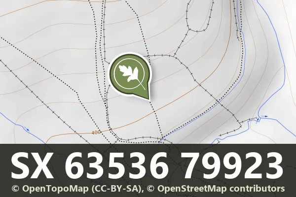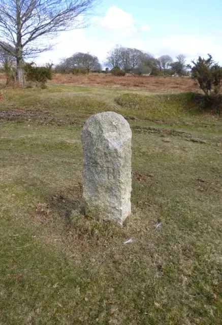
Boundary Stone, Ngr 516 711
Leetown, Tavistock
A boundary marker stone on the open moor, marking the historic limits of land ownership or administrative division.
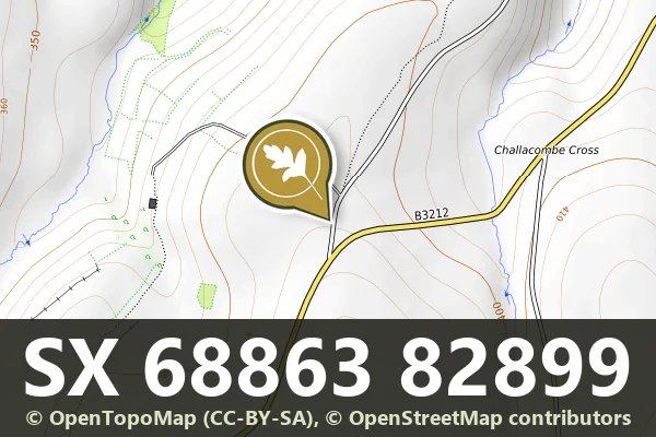
Dartmoor's archaeology and heritage - antiquities, historic buildings and museums.
Leetown, Tavistock
A boundary marker stone on the open moor, marking the historic limits of land ownership or administrative division.
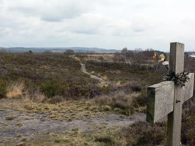
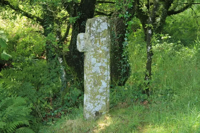
A Dartmoor fact about Wigford Down cross
Lettaford, Chagford
A stone marker recording a boundary line across the Dartmoor moorland, likely dating from the medieval period or later.
Heathfield, Bovey Tracey
Heathland between Bovey Tracey and Heathfield where Cromwell broke a Royalist cavalry force in January 1646. Now a Devon Wildlife Trust nature reserve.
A bowl barrow 21.3 m across and 0.6 m high on the summit of Galford Down with wide views, ringed by a mostly buried ditch 2.7 m wide.
Broadun enclosed settlement: a circular enclosure 300 m by 260 m with a bank up to 5 m wide, at least 36 hut circles (eleven dug in 1894), a pen, a cairn clipped by the Cherry Brook gunpowder mills leat.
Shaugh Prior
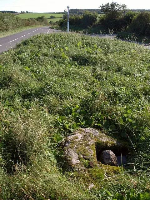
The octagonal granite socket stone of a lost wayside cross at a lane junction between Plympton and Shaugh Prior, listed Grade II.
An enclosed settlement of eight joined enclosures and four stone hut circles on the edge of Buckland Common, part of the Rippon Tor coaxial field system.
Dousland
A granite socket stone at the lane entrance to Burham Farm near Dousland, thought by some to be the original base of the Yennadon Cross.
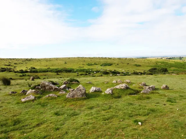
Bronze Age settlement remains scattered across the open moorland.