

← Browse Prehistoric Settlements · Browse the directory
Prehistoric Settlements
Butter Brook Settlement
Grid ref: SX 6444 5930
On walking routes: Two Moors Way
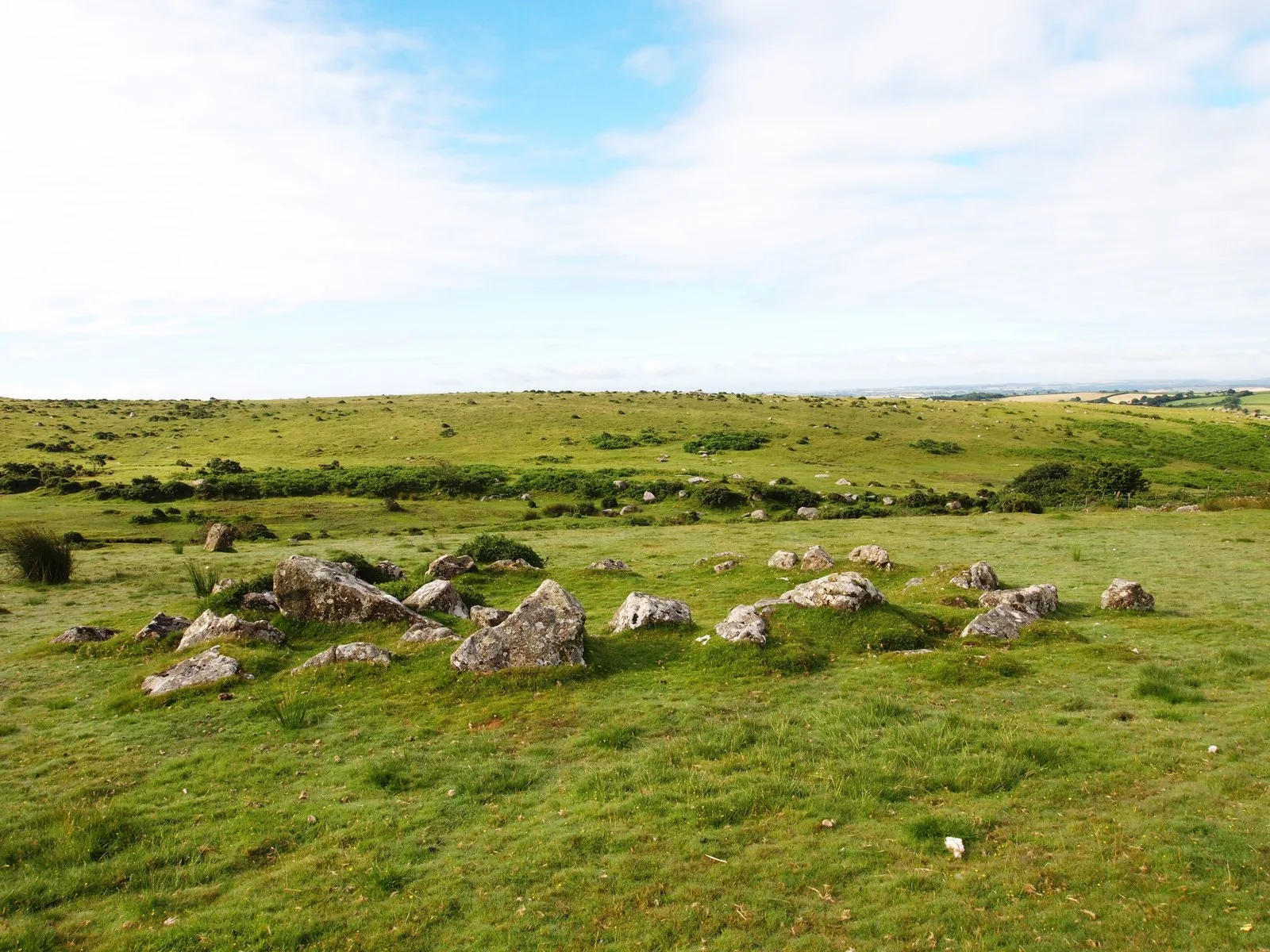
Main image: Hut Circle Near Harford Moor Gate - 9 metres from location - image by Chris Andrews (CC BY-SA 2.0), via Wikimedia Commons
- Period: Bronze Age
- Grid reference: SX 6444 5930 (approximate, from the listing's coordinates)


Thoughts
Be the first to share a thought about Butter Brook Settlement.
Share a thoughtKnow another Dartmoor place, tor or landmark we should include? Suggest a listing, it is free.
Suggest a listing