

← Browse Milestones & Boundary Markers · Browse the directory
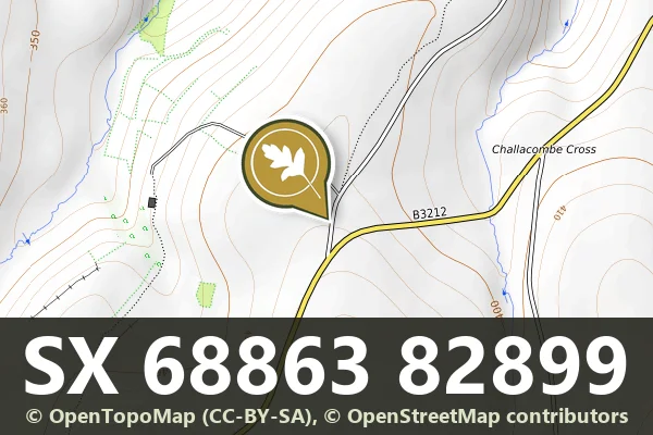
Boundary Stone, SX 688 829
Lettaford, Chagford, Devon
Grid ref: SX 6886 8289
This stone sits at grid reference SX 688 829, on open moorland where such markers remain among the clearest surviving records of how the moor was divided and managed over centuries.
- Status: Listed building (Historic England list entry 1326017)
- Grid reference: SX 6886 8289 (approximate, from the listing's coordinates)
The full official description is in the Historic England record linked above.
Historic England listed designation: Boundary Stone at SX 688 829


Official record
Explore the area
Thoughts
Be the first to share a thought about Boundary Stone, SX 688 829.
Share a thoughtKnow another Dartmoor place, tor or landmark we should include? Suggest a listing, it is free.
Suggest a listing