Historic England's scheduling record (list entry 1008671) describes an unenclosed hut circle settlement of 31 stone hut circles in an irregular field system, a length of the Walkhampton Common reave, some post-medieval stone quarries and an enclosure with two more huts and a military shelter, on the south-east slope of Leeden Tor overlooking the valley of the River Meavy. It lies in the parish of Walkhampton, about 1.1 km north of Leather Tor and 3.3 km south-east of Sampford Spiney.
Thirty of the settlement's huts are circular, 1.2 to 8 metres across, and one is oval, 2.7 metres by 2 metres. The walls are of stone and earth, 0.2 to 0.8 metres high, and the average circular hut is 3.22 metres across inside. One hut has an annexe, one has an inner partition, eleven have visible doorways and twenty are attached to field walls. The field system comes in two parts separated by a gap 16 metres wide. The western part is attached to the reave and has eight field plots bounded by a rubble bank 2 metres wide and up to 0.5 metres high, with six huts inside the fields and ten attached to their walls. The eastern part has at least four plots, with ten huts attached to the boundaries, another inside a field and one just outside.
The enclosure lies among dense clitter on the east side of the reave. It is 74 metres north-east to south-west by 32 metres inside, bounded by a low rubble wall averaging 0.7 metres wide and 0.3 metres high, and a short bank from the reave divides it in two. One hut, 2.5 metres across, lies just north of the enclosure against the east side of the reave, and a second, 2.7 metres across, lies in the south half. Both have doorways facing east. An oval drystone structure on top of the northern wall, 3 metres by 2 metres inside, is thought to belong to military training. Many small, long stone quarries, mostly under 5 metres wide and up to 2 metres deep, supplied building stone in the post-medieval period.
Sources: Historic England list entry 1008671, which cites Gerrard, 'Military mortar emplacements on Dartmoor?' (1992), the Devon County Sites and Monuments Register (SX57SE9.3, SX57SE11, SX57SE8, SX57SE9, SX57SE11-01 and SX57SE7) and the National Archaeological Record (SX57SE91).
Period: Bronze Age
Status: Scheduled monument (Historic England list entry 1008671)
Grid reference: SX 5641 7107 (approximate, from the listing's coordinates)
Dartefacts is a database of Dartmoor sites with far more close-up detail than we can show here, and it is the best place to go deeper. Dartefacts is free to use, and nobody has to pay to look things up. If you want more, a yearly subscription adds 10-figure grid references, map zoom down to 1:25,000 and lists to tick off the places you have visited, and it helps keep the site going. We would encourage you to subscribe.
“When the zun in the East wuz beginning to rise,
Jan Pook, half awake,
Valled to rubbing his eyes.
" Who be I ? Where be I ? "
Zed Jan in a maze :
" Here's a drunken old zun-
Of-a-gun on a shays.
If I be Jan Pook,
I may zay to my cost
A pair of post osses
I've sartinly lost.
If I baint Jan Pook
'Tez ...”
Also on Our DartmoorHut circle settlement near Swincombe — An unenclosed settlement of up to 21 hut circles, from 2.8 to 7.5 m across, below the end of the Dartmeet coaxial field system, above the Swincombe.
Dartmoor quizPhotograph by Glavind Strachan Photography
Which Dartmoor place is this?
Know another Dartmoor place, tor or landmark we should include? Suggest a listing, it is free.
Our Dartmoor doesn't track you and runs no adverts. We use one cookie to make the
site work, and some pages load videos, maps or optional social media panels from other sites, the panels only if you choose to show them.


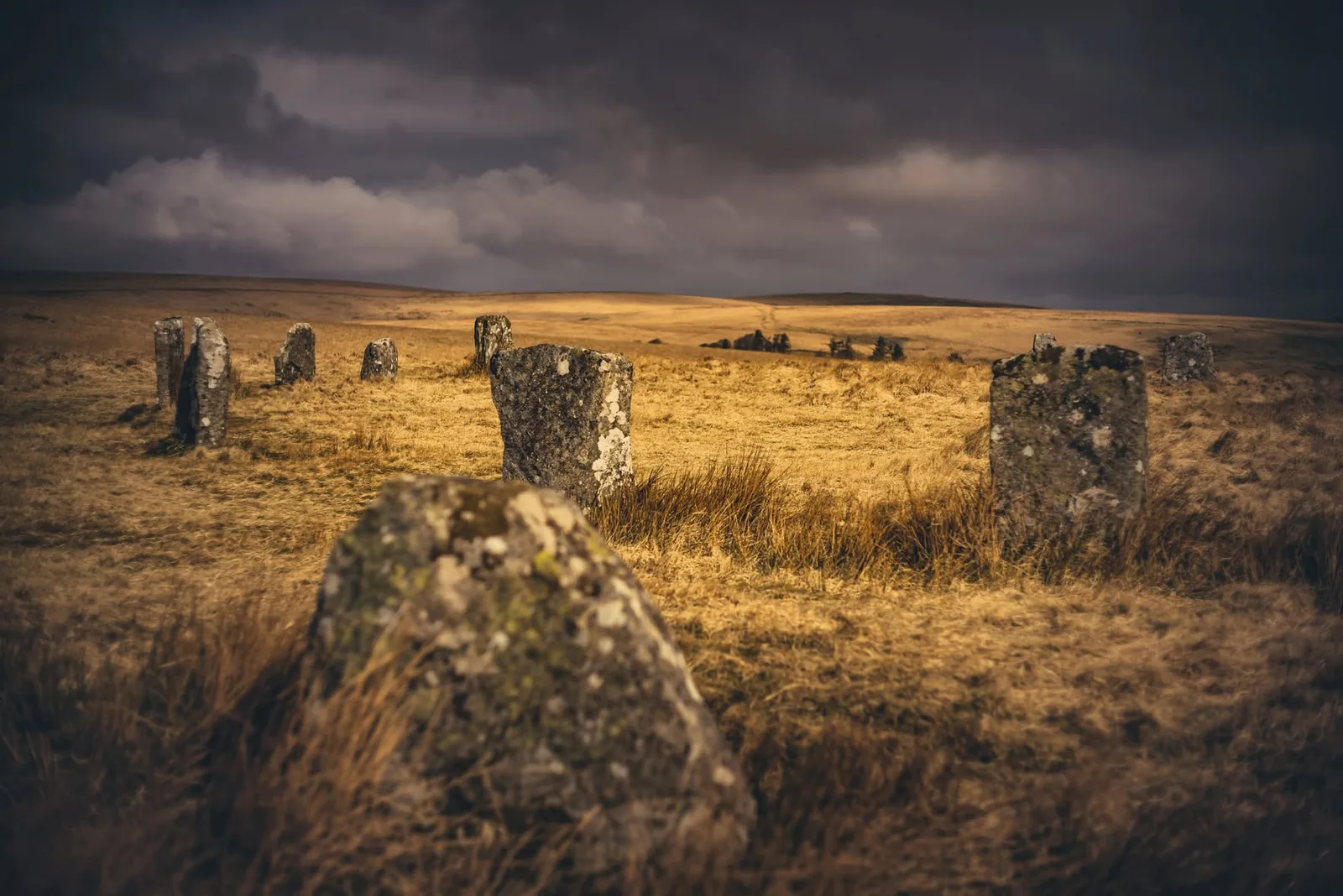



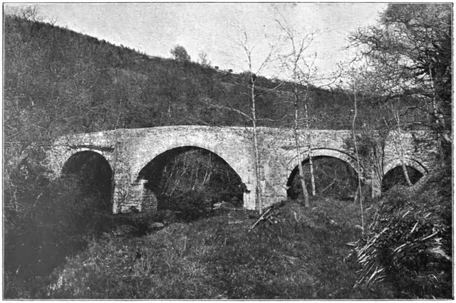 Plate from Dartmoor Illustrated, page 150, 1900
