

← Browse Prehistoric Settlements · Browse the directory

Cosdon Hill hut circle settlements, Taw Marsh reave and tin mill
Grid ref: SX 6273 9122
Main image: Photo: Derek Harper, Wikimedia Commons
Historic England's scheduling record (list entry 1015760) describes a large prehistoric settlement complex, a length of the Taw Marsh territorial reave, a tin streamwork, two reservoirs, a leat and a stamping mill on the western slopes of Cosdon Hill. It lies across the parishes of South Tawton and Dartmoor Forest, about 1.1 km south of Ladybrook Tor and 2.5 km south of Belstone.
The settlement has at least 54 hut circles in four clusters, most of them east of the reave. The largest cluster, next to the reave, has at least 22 huts, two simple enclosures and one made of several parts, with six of the huts outside any enclosure. A short way east a simple enclosure holds five huts, with another attached to its wall and one just outside. South of it an oval enclosure holds three. East of that is the fourth cluster, at least 19 unenclosed huts and three partly enclosed. West of the reave a cluster of 32 huts includes six joined to fragments of boundary wall. Six clearance cairns in the settlement point to farming.
The Taw Marsh reave is taken to mark the western edge of the territory of Cosdon. Inside the monument it is a bank 3 metres wide and 0.7 metres high running from SX 62759173 to SX 62218926, mostly under peat, with its stone core showing where the peat has worn away. Tin streamworks on Small Brook and Ivy Tor Water cut it. The Ivy Tor Water streamwork is a substantial hollow with banks of spoil showing systematic working, and it shows several periods of work. Some of the water came by a leat from the slopes of Cosdon Hill, which first filled two reservoirs. At SX 62859176 is a stamping mill, a rectangular drystone building 4.2 metres by 2.5 metres inside, one of the smallest known on Dartmoor and more like a tinners' shelter in size, with the buddles for separating the crushed ore as small triangular hollows north-east of it. The mill probably crushed ore from the nearby streamwork.
Sources: Historic England list entry 1015760, which cites Butler, Dartmoor Atlas of Antiquities (1991), pages 201 and 202, Fleming, The Dartmoor Reaves (1988), page 54, Gerrard, 'The Archaeology of Dartmoor: Perspectives from the 1990s' in The Dartmoor Tin Industry: An Archaeological Perspective (1994), page 182, Greeves, 'Blowing and Knocking: the Dartmoor Tin Mill before 1750' (Dartmoor Magazine 23, 1991), page 20, the National Monuments Record (SX6391/4/197, 1977) and fieldwork for the Monuments Protection Programme by S. Gerrard (1996).
- Period: Medieval
- Status: Scheduled monument (Historic England list entry 1015760)
- Grid reference: SX 6273 9122 (approximate, from the listing's coordinates)
Contact us if you have information about this listing
Official record
Explore the area
Go deeper with Dartefacts
Dartefacts is a database of Dartmoor sites with far more close-up detail than we can show here, and it is the best place to go deeper. Dartefacts is free to use, and nobody has to pay to look things up. If you want more, a yearly subscription adds 10-figure grid references, map zoom down to 1:25,000 and lists to tick off the places you have visited, and it helps keep the site going. We would encourage you to subscribe.
More Dartmoor resources
Thoughts
Be the first to share a thought about Cosdon Hill hut circle settlements, Taw Marsh reave and tin mill.
Share a thought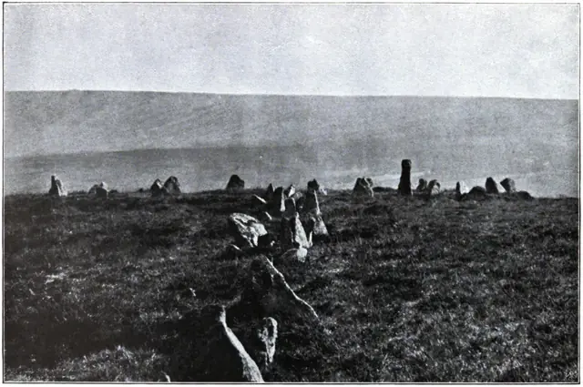 Plate from Dartmoor Illustrated, page 160, 1900
“Not likely; you don't come in here. The policeman's about the place, and I don't want 'ee," was her cheering reply.”
Also on Our DartmoorFlat-topped round cairn south-east of Sourton Tors — A flat-topped round cairn 9.7 m across and 0.6 m high, with several shallow hollows, on a west-facing slope above Bridestowe.
Know another Dartmoor place, tor or landmark we should include? Suggest a listing, it is free.
Suggest a listing