Greenwell Girt socket stone near Lovaton hamlet
An octagonal-topped granite socket stone, 1.02 m by 1 m, beside the road south of Greenwell Girt; the cross it once held marked a medieval route.
Showing listings tagged “Bronze Age” Show all listings
An octagonal-topped granite socket stone, 1.02 m by 1 m, beside the road south of Greenwell Girt; the cross it once held marked a medieval route.
Most of the Throwleigh Common coaxial field system, with six settlements including at least 27 hut circles, a reave, at least 27 cairns, part of the 19 km Bradford Leat and two boundary stones.
Riddipit hull, a potato cave: a tunnel 9.7 m long cut into a river bank with a granite doorway 0.73 m wide and an inward-opening door, part of Riddipit farmstead.
Twenty-two hut circles, 5 to 11 m across, in two groups with enclosures on the steep east side of the Erme valley, and three tinners' caches from later use.

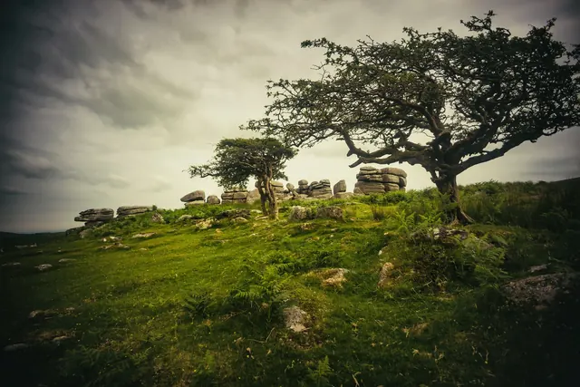
Which Dartmoor tor is this?
Bronze Age settlement of stone hut circles with cairns and field boundaries, north east of Hemstone Rocks.
Bronze Age stone hut circles on open moorland.
Bronze Age stone hut circles on the open moor northwest of Little Links Tor.
At least seven hut circles, 2.4 to 6.8 m across, two with courtyards, on a west slope above the Walkham, west of Yellowmeade Farm.
Two joined stone hut circles, 3.5 m and 2 m across, terraced into the south-east slope of Conies Down Tor, 30 m west of an enclosed settlement.
Photograph by Glavind Strachan Photography“throughout the winter it is quite a different thing ; in the darkness, fog, and often snow, there is not much to admire in the files of spectral convicts marching across the yards into Chapel.”
Also on Our DartmoorNorth Teign coaxial field system (western part), Shovel Down — Prehistoric field boundaries and later settlements on the high moor between Shovel Down and Long Ridge.