Chinkwell Tor
The highest tor on the line running from Wittaburrow to Honeybag Tor, above the Widecombe valley, with two outcrops and views east to Haytor.
Showing listings tagged “Cairn” Show all listings
The highest tor on the line running from Wittaburrow to Honeybag Tor, above the Widecombe valley, with two outcrops and views east to Haytor.
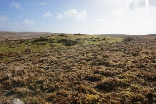
Bronze Age settlement of stone hut circles with cairns and field boundaries, north east of Hemstone Rocks.
A turf-covered round cairn 19.7 m across and up to 1.4 m high beside the Lichway, on the ridge between Cocks Hill and Lynch Tor.
Two round cairns, 4 m and 3.3 m across, 1 m apart on a north-east slope of Sourton Tors, both with a central hollow from early digging or robbing.
Two Bronze Age burial cairns in open moorland northwest of Statts Bridge, marking ancient settlement on Dartmoor.
What year is the original motte-and-bailey structure of Lydford Castle thought to have been built?
A prehistoric settlement enclosed by banks and ditches, with a round cairn nearby, on the moorland south west of Venford Reservoir.
Bronze Age settlement of stone hut circles and cairns on the slopes of Giant's Hill, a scheduled monument on Dartmoor.
Bronze Age settlement of stone hut circles and a cairn on the high moorland north east of Rough Tor.
The Stanlake stone row: a double row of at least 81 stones, 283.6 m long, running north-east to south-west, with a blocking stone and three cairns at its south-west end.
Plate from A Hundred Years on Dartmoor, page 75, 1901“Only the most highly respectable people live on Dartmoor.”
Also on Our DartmoorIrishman's Wall Circle — Remains of a cairn circle near Irishman's Wall above Belstone, picked up by Alan Endacott's geophysical survey. Six stones are visible and more are indicated below ground.