

← Browse Prehistoric Settlements · Browse the directory
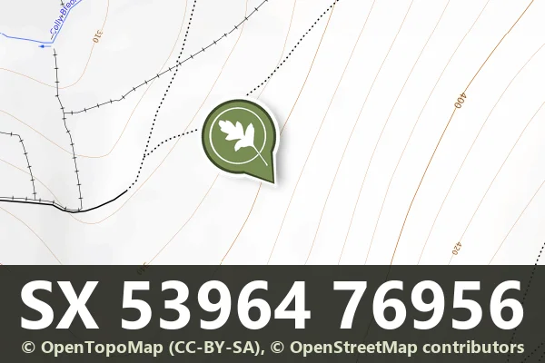
Roos Tor hut circle settlement and Great Western Reave
Grid ref: SX 5396 7695
Historic England's scheduling record (list entry 1007865) describes twenty-one stone hut circles, a short length of the Great Western Reave, a medieval or post-medieval shelter and at least twelve fields on a gentle north-west-facing slope above the Colly Brook. Together they form a large part of the unenclosed hut circle settlement on the north-western slopes of Roos Tor. It lies in the parish of Peter Tavy, about 0.9 km south of Wedlake Tor and 2 km north-west of Merrivale.
Nineteen of the huts are attached to boundary walls. Eighteen are circular, with inner diameters from 2 to 6.3 metres and an average of 2.98 metres, and three are oval. The walls stand 0.25 to 0.7 metres high, averaging 0.39 metres. Seven huts have doorways that can be seen, and two are joined to each other. The field boundaries mostly butt up against the huts, which suggests the fields were added after the settlement was founded.
The Great Western Reave is 10 kilometres long, the longest known prehistoric land boundary on Dartmoor. Here it is a loose rubble bank 3.5 metres wide and up to 0.8 metres high, running down the slope to the north-west and up it to the south-east. All the huts lie on one side of it, which suggests it was respected as a boundary while the settlement was in use, and the field walls abut it, so they are more recent. A rectangular shelter, 4 metres by 2.3 metres inside, with a boulder wall 1.6 metres wide and up to 0.4 metres high, is attached to the east face of the reave and is medieval or later.
Sources: Historic England list entry 1007865, which cites Butler, Dartmoor Atlas of Antiquities (1991), Fleming, The Dartmoor Reaves (1988), Gibson, Single Monument Class Description: Stone Hut Circles (1987), and National Archaeological Record entries SX57NW30 and SX57NW19.
- Period: Bronze Age
- Status: Scheduled monument (Historic England list entry 1007865)
- Grid reference: SX 5396 7695 (approximate, from the listing's coordinates)
Contact us if you have information about this listing


Official record
Explore the area
Go deeper with Dartefacts
Dartefacts is a database of Dartmoor sites with far more close-up detail than we can show here, and it is the best place to go deeper. Dartefacts is free to use, and nobody has to pay to look things up. If you want more, a yearly subscription adds 10-figure grid references, map zoom down to 1:25,000 and lists to tick off the places you have visited, and it helps keep the site going. We would encourage you to subscribe.
More Dartmoor resources
Thoughts
Be the first to share a thought about Roos Tor hut circle settlement and Great Western Reave.
Share a thoughtKnow another Dartmoor place, tor or landmark we should include? Suggest a listing, it is free.
Suggest a listing