
Tors & Landmarks
South Down
A quiet hill on the edge of north-west Dartmoor, with a marked bridleway crossing its summit.


Named tors, hills and other landmarks on Dartmoor. Browse the tors or the hills and mounds, or use the map below to see everything at once.
A quiet hill on the edge of north-west Dartmoor, with a marked bridleway crossing its summit.

A lesser-known tor with a cobra-like granite feature, situated near a popular cycle track and marked as a boundary point in the 1240 Perambulation.

A granite hill with a distinctive shape, located near the edge of the moor.

A spoil tip located alongside the usually submerged Tin Blowing Mill on Dartmoor.
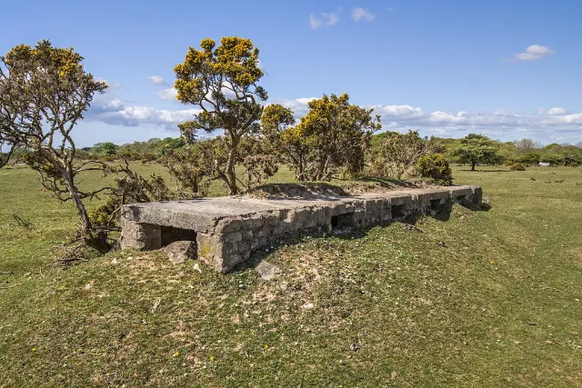
Crapstone
The Squadron Office is a Dartmoor ruin located near Crapstone. It is part of the extensive training grounds used by the Royal Marines for their rigorous recruit training, which includes night-time exercises on the challenging terrain of Dartmoor.

Moretonhampstead
Grade I listed medieval parish church in Moretonhampstead centre, notable for its early fifteenth-century tower and traditional Devon wagon roof.
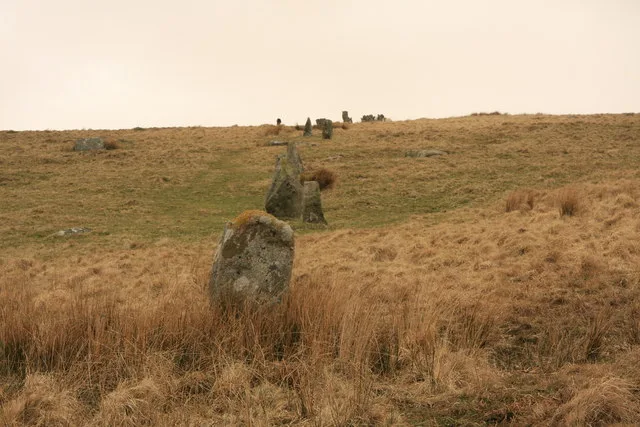
Cornwood
Stalldown Barrow, also known as Staldon, is a megalithic site located near Cornwood on Dartmoor. It comprises a long stone row and is close to the stone circle on Stall Moor, about 5 kilometres from Harford.

A large domed hill with military huts and a ruined tor, offering views to Bagga Tor and Hare Tor.

A quiet tor with a sheepfold and scattered granite on its slopes, offering good views to the south and west.
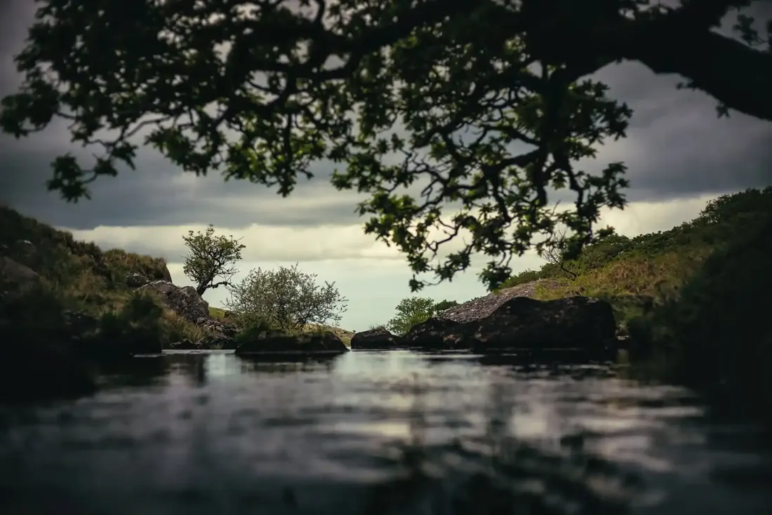 In the West Okement River. Photograph by Glavind Strachan Photography
“The rain stopped suddenly, and the wind was hushed, except in the tops of invisible trees; and a streak of black boggy fog settled heavily.”
Also on Our DartmoorRing cairn south west of Hound Tor near East Lodge — A ring cairn 6.5 m across on a ridge south-west of Hound Tor, of at least 19 close-set granite stones round a central cist with both end stones and its west side slab still showing.
