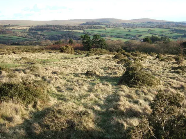
Tors & Landmarks
Rook Tor
Cornwood
Rook Tor is a Dartmoor peak located near Cornwood, marked on Ordnance Survey maps just below 300 meters.


Named tors, hills and other landmarks on Dartmoor. Browse the tors or the hills and mounds, or use the map below to see everything at once.
Cornwood
Rook Tor is a Dartmoor peak located near Cornwood, marked on Ordnance Survey maps just below 300 meters.
Old books sometimes spell "Black Tor" differently. Which of these is one of those spellings?
Bovey Tracey
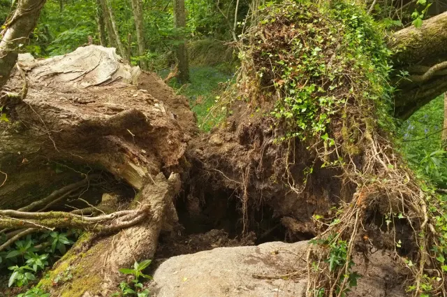
Rooks Hole Tor stands as a grand peak near Bovey Tracey, with magnificent white-faced outcrops that tower above the surrounding woodland.

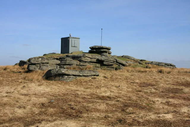
A granite tor with curious boundary stones and a flagpole, once part of a military firing range.
Yelverton
Rough Tor, 547 m, north of Two Bridges on central Dartmoor, inside the Merrivale firing range, its summit carrying military huts and poles.

A small habitation on Dartmoor, noted in historical records and gazetteers.

A quiet tor with memorial plates to Dr Jeffrey Wentworth Malim and his wife Mary, set atop Rowden Ball.
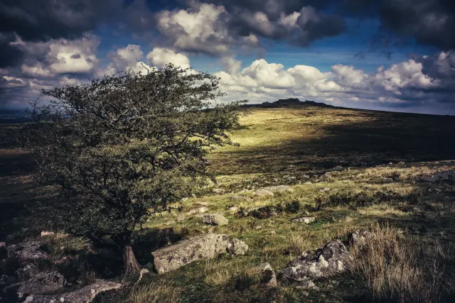
A modest tor on Dartmoor's northern edge, near Okehampton Camp and the firing range.

A hill with Bronze Age tombs and views to Longaford Tor, marked by the Crock of Gold cist.

A granite rock with a loggable stone, located near Venton and Widecombe in the Moor.
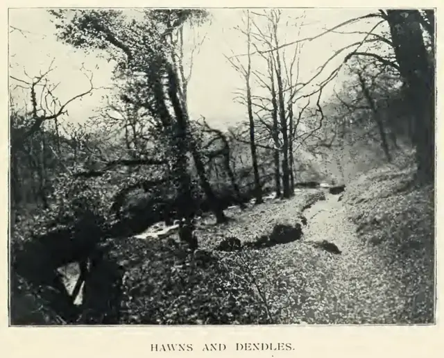 Plate from A Hundred Years on Dartmoor, page 95, 1901
“The numerous blocks of granite which appear to be split asunder by some violent action, are said by the moormen to have been riven in that manner by the earthquake which occurred at our Saviour's crucifixion.”
Also on Our DartmoorRound cairn east of Down Tor near Combshead Tor — A round cairn 17 m across and 1.5 m high with a kerb and a robbing pit, on Hingston Hill, in direct line with the two end stones of a stone row to its south-west.
