Tors & Landmarks
Old Farm (ruins)
Princetown
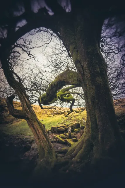
Ruins of a moorland farmhouse built around 1871 by John Hooper near Nun's Cross, south of Princetown.


Named tors, hills and other landmarks on Dartmoor. Browse the tors or the hills and mounds, or use the map below to see everything at once.
Princetown
Ruins of a moorland farmhouse built around 1871 by John Hooper near Nun's Cross, south of Princetown.
Haytor Vale
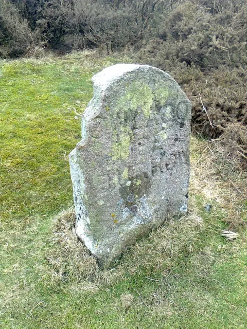
Owlacombe Burrow Rock is a non-gneissic rock face located near Haytor Vale, standing about 400 metres east of the minor road to Manaton.


A granite hill with a distinctive shape, located near other notable Dartmoor features.

A striking granite tor with layered rock formations and historic hot cross bun markers.

A classic avenue tor with two prominent ridges and a rock-basin on the summit, near Top Tor.
Bittaford
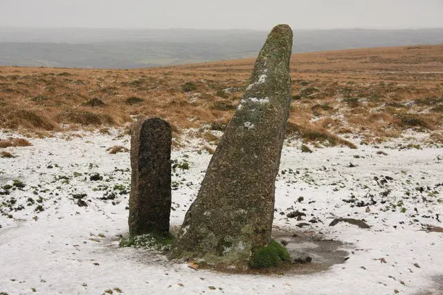
A 387 m hill on the line from Western Beacon to Butterdon Hill, with Plymouth Sound views, ending the Butterdon Hill stone row at the Longstone.
Bovey Tracey
Pixey Copse Tor, standing at 140 metres, is a granite valley side tor near Bovey Tracey. Its jagged, dark rocks, heavily fissured and covered in vegetation, form an intriguing path through Shaptor Wood.
Lustleigh
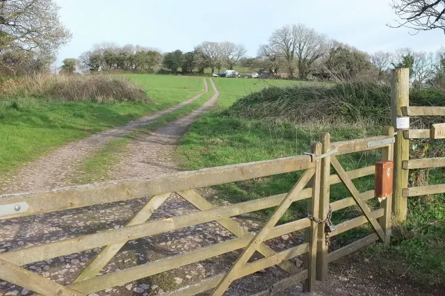
Plain Mummeries Tor is a small but distinctive rock outcrop located on a gentle spur near Lustleigh. It sits within a woodland clearing and its name comes from the 19th Century Tithe Maps, which referred to the area as 'Plain Mummeries'.
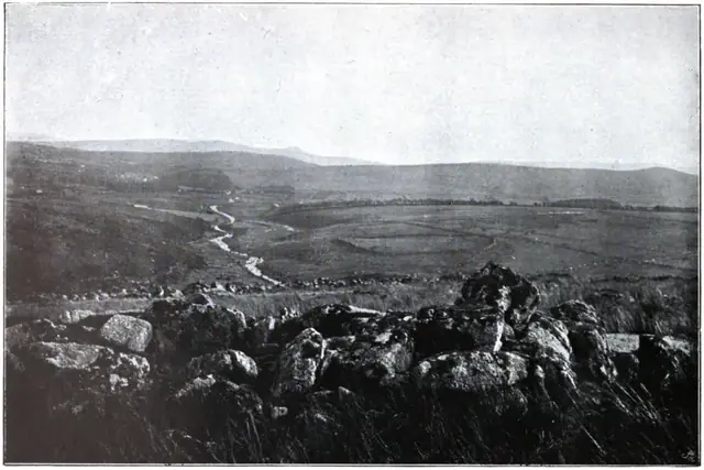 Plate from Dartmoor Illustrated, page 132, 1900
“The Gubbings land is a Scythia within England, and they be pure heathens therein... Their wealth consists in other men's goods, and they live by stealing the sheep on the More...”
Also on Our DartmoorAddiscott Cross — A granite wayside cross standing on the open moor, likely medieval in origin, marking an ancient route across Dartmoor.
