
Tors & Landmarks
Pound Rock
A large granite rock at the entrance to North Bovey, marked with a finger post and named for its historical use as an animal pound.


Named tors, hills and other landmarks on Dartmoor. Browse the tors or the hills and mounds, or use the map below to see everything at once.
A large granite rock at the entrance to North Bovey, marked with a finger post and named for its historical use as an animal pound.
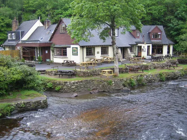
Drewsteignton
Prestonbury Castle is an Iron Age hill fort located on a hilltop near Drewsteignton, some 240 metres above sea level. It stands overlooking the Teign Valley and is close to two other hill forts, about 2 km away.

A quiet, open moorland area with views towards Sourton Tors, captured in a summer photograph by Glavind Strachan.
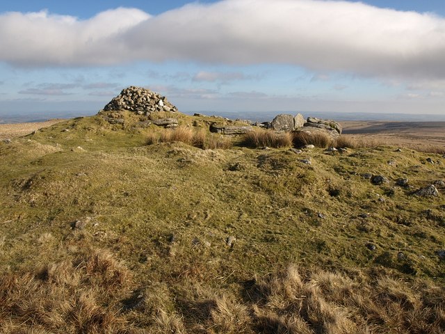
A hill with a legend, marked by a cairn and views towards Teignmouth and Snowdon.

A fairly flat hill with settling tanks and remnants of the Zeal tramway nearby.

A distinctive ridge with a commanding presence, offering views across the surrounding moorland.

A striking tor on eastern Dartmoor with three large cairns and a triangulation pillar overlooking the northern high moors.

A remote granite tor set in a basin, with Gidleigh Common stretching out below.
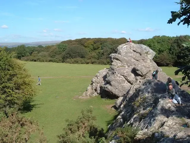
Roborough, Yelverton
A tor-like igneous outcrop on Roborough Down beside the A386, at the southern end of the former RAF Harrowbeer airfield, nicknamed the "Duke of Wellington's Nose" for its profile.
