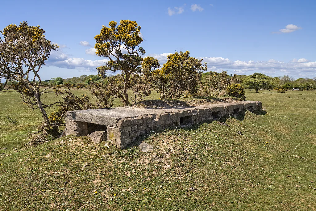
Main image: RAF Harrowbeer, a tour of a WW2 airfield - shelter (8) - 134 metres from location - image by Mike Searle (CC BY-SA 2.0), via Wikimedia Commons
The Squadron Office is a Dartmoor ruin located near Crapstone. It is part of the extensive training grounds used by the Royal Marines for their rigorous recruit training, which includes night-time exercises on the challenging terrain of Dartmoor.
Dartefacts is a database of Dartmoor sites with far more close-up detail than we can show here, and it is the best place to go deeper. Dartefacts is free to use, and nobody has to pay to look things up. If you want more, a yearly subscription adds 10-figure grid references, map zoom down to 1:25,000 and lists to tick off the places you have visited, and it helps keep the site going. We would encourage you to subscribe.
Our Dartmoor doesn't track you and runs no adverts. We use one cookie to make the
site work, and some pages load videos, maps or optional social media panels from other sites, the panels only if you choose to show them.
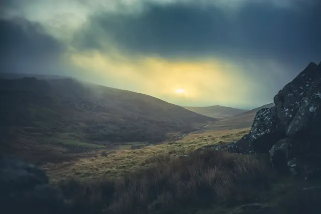


 Photograph by Glavind Strachan Photography
