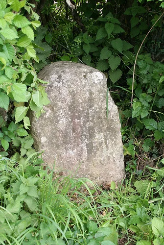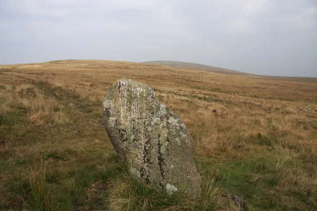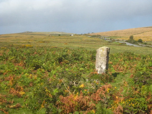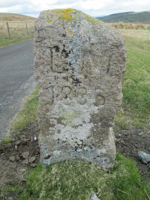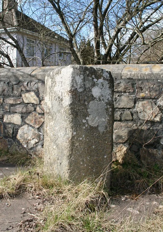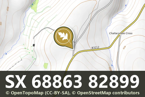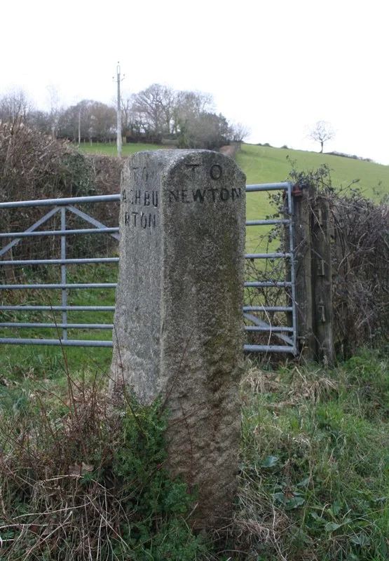
County Bridge Stone Set Into Garden Wall Of Ponsworthy House About 5 Metres North East Of Its South Gate
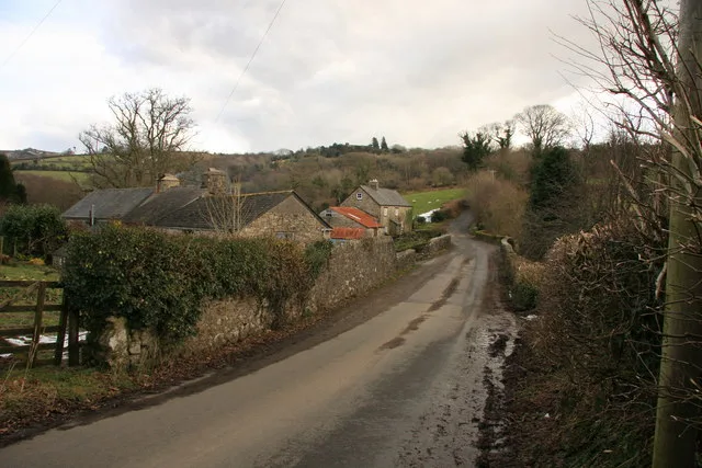
Ponsworthy, Ashburton
A stone marker built into a garden wall at Ponsworthy House, likely marking an old parish or estate boundary.
Ponsworthy, Ashburton
A stone marker built into a garden wall at Ponsworthy House, likely marking an old parish or estate boundary.
Wreyland, Bovey Tracey
A direction post standing near Slade Farm, a modest marker from Dartmoor's network of wayfinding stones.
Hennock, Bovey Tracey
A direction post marking the crossroads at Cherrycombehead, guiding travellers across the moorland landscape.
Haytor Vale, Bovey Tracey
A direction post marking the junction near Haytor Vale, a modest survivor of Dartmoor's Georgian road infrastructure.
Higher Sigford, Bovey Tracey
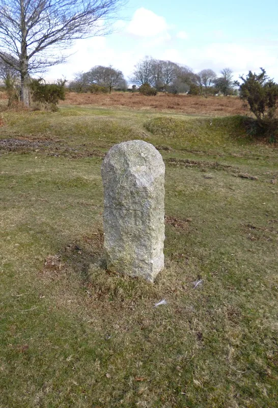
A stone direction post at a remote five-way junction on Dartmoor, marking routes across the high moor.
Hennock, Bovey Tracey
A direction post marking the junction of roads to Hennock village and Warmhill, a modest wayfinding marker from the moor's transport history.
Higher Sigford, Bovey Tracey
A historic direction post marking the north-east corner of Sigford Crossroads on Dartmoor.
Higher Brimley, Bovey Tracey
A direction post marking the north east corner of Woodhouse Crossroads on Dartmoor.
Venton, Ashburton
A granite guidestone at Hemsworthy Gate Crossroads, marking routes across the open moor.