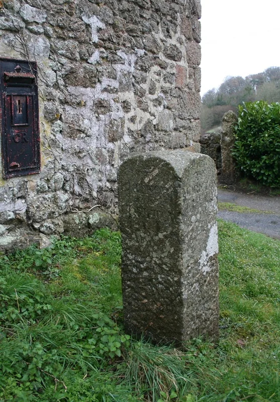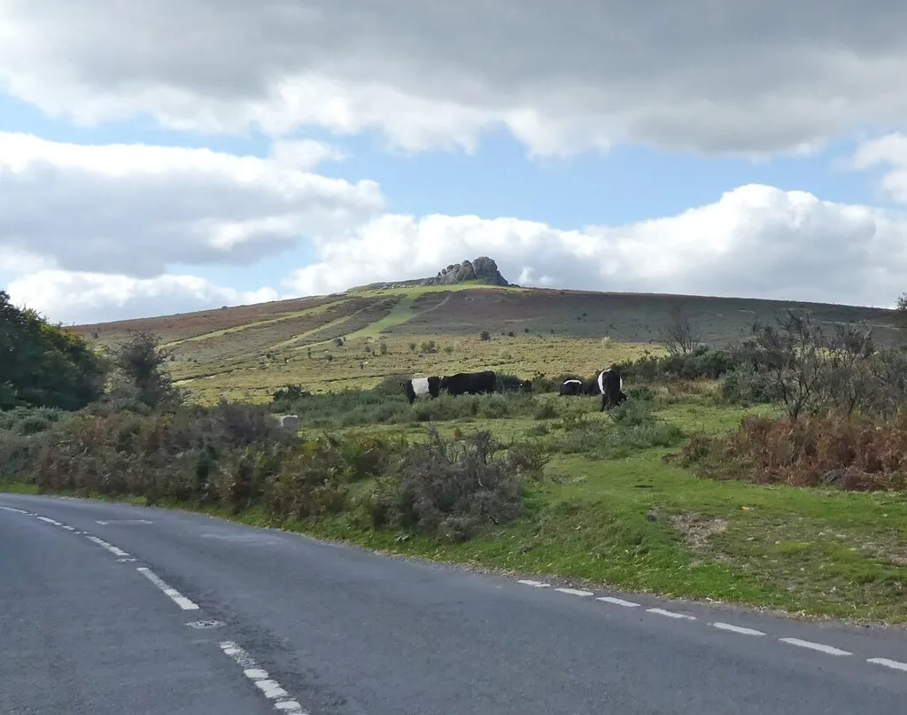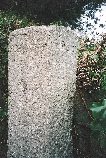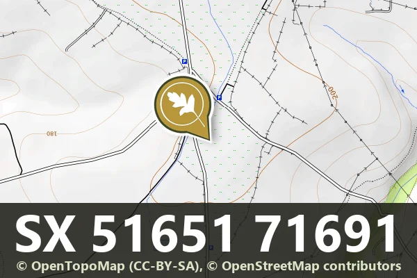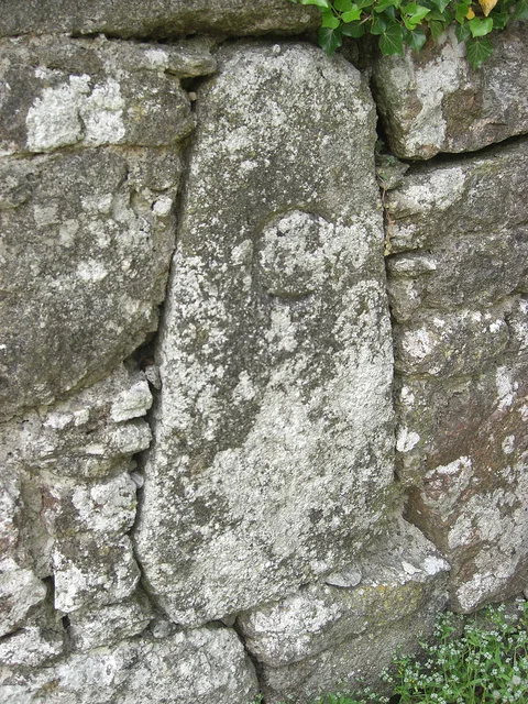
Direction Post, Road Fork at Willis's Crossroads
Liverton, Bovey Tracey
A direction post marking a fork in the road at Willis's Crossroads, likely dating from the 18th or 19th century.
Liverton, Bovey Tracey
A direction post marking a fork in the road at Willis's Crossroads, likely dating from the 18th or 19th century.
Trumpeter, Bovey Tracey
A stone direction post marking the junction of the lane from Ilsington Methodist Church and the route to Lewthorn Crossroads.
Lower Dunstone, Ashburton
A weathered guidestone marking the south-east corner of Stone Crossroads on the open moor.
Leetown, Tavistock
Five granite boundary stones marking the western edge of Sampford Spiney, set across the open moorland landscape.
A boundary stone marking the limits of Headland Warren, standing on open moorland northeast of the farm.
A boundary stone marking the edge of Hentor Warren, a medieval enclosed grazing ground on the open moor south-east of Hen Tor.
A granite boundary stone marking the limits of Hentor Warren on the open moorland of Lee Moor.
Green Lane, Bovey Tracey
A granite milestone and surviving section of the Haytor granite tramway, a 19th-century industrial route across the moor.
Pridhamsleigh, Ashburton
A roadside milestone marking distances on the old turnpike route near Gage's Mill, likely dating from the 18th or 19th century.