Skip to content

← Browse Milestones & Boundary Markers · Browse the directory

Milestones & Boundary Markers

Direction Post

Lower Dunstone, Ashburton, Devon

Grid ref: SX 7195 7455 Find this on the Map Reference Finder

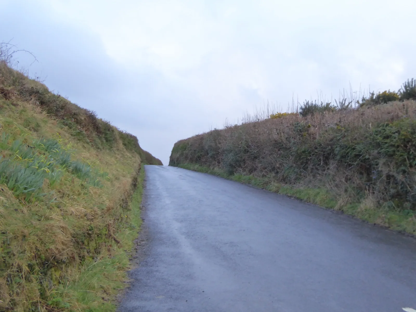
Main image: Road to Buckland in the Moor from Stone Cross - 4 metres from location - image by David Smith (CC BY-SA 2.0), via Wikimedia Commons

This direction post stands at the south-east corner of Stone Crossroads, one of several named crossing points on Dartmoor's high moorland. Guidestones like this one were set up to help travellers navigate the featureless terrain, particularly important in poor visibility or when paths were less defined than today. The stone bears the wear of centuries of exposure to moorland weather and use.

The post marks a place where routes converge on the open moor, a practical waypoint for walkers, packmen and moorland workers. Its modest presence is typical of Dartmoor's scattered heritage, speaking to the long history of movement and trade across these high plateaus. Visiting involves walking into open country and finding the stone among the moorland landscape it has watched over for generations.

Historic England listed designation: Direction Post at South East Corner Of Stone Crossroads

Share

Contact us if you have information about this listing

Go deeper with Dartefacts

Dartefacts is a database of Dartmoor sites with far more close-up detail than we can show here, and it is the best place to go deeper. Dartefacts is free to use, and nobody has to pay to look things up. If you want more, a yearly subscription adds 10-figure grid references, map zoom down to 1:25,000 and lists to tick off the places you have visited, and it helps keep the site going. We would encourage you to subscribe.

Thoughts

Be the first to share a thought about Direction Post.

Share a thought

Know another Dartmoor place, tor or landmark we should include? Suggest a listing, it is free.

Suggest a listing