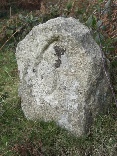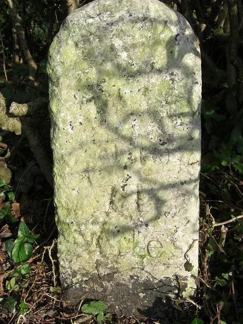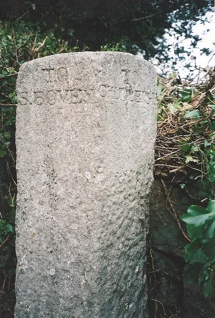
Direction Post, The Junction Of The Roads To Hennock Village And Warmhill
Hennock, Bovey Tracey
A direction post marking the junction of roads to Hennock village and Warmhill, a modest wayfinding marker from the moor's transport history.

Hennock, Bovey Tracey
A direction post marking the junction of roads to Hennock village and Warmhill, a modest wayfinding marker from the moor's transport history.
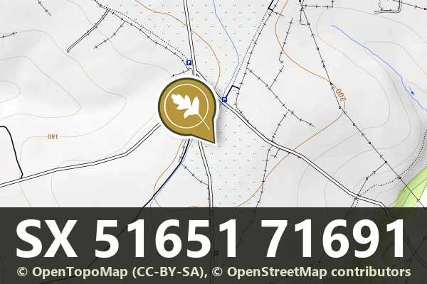
South Zeal
A 6 ft boundary stone cut SZ 2 and DC 2 (South Zeal and Duchy of Cornwall) at Rabbits' Holt, Cosdon Hill, one of a line put up in 1885 after the 1883 enclosure dispute.
Leetown, Tavistock
Five granite boundary stones marking the western edge of Sampford Spiney, set across the open moorland landscape.
A Headland Warren boundary stone cut Warren Bounds, a granite pillar 0.37 m high set in a bank by the road, one of at least 16 round the 246 ha warren.
What is the total length of the West Okement River?
Two of the 16 Headland Warren boundary stones north of Birch Tor, 0.7 m and 0.9 m high, cut WB, marking a warren of about 246 ha with 37 pillow mounds, in use from 1754 to about 1920.
A granite boundary stone 1.02 m high, cut HWB2, the second marker of Hentor Warren, named in an 1807 lease, on Lee Moor above Spanish Lake.
A granite boundary stone 1.18 m high, cut HWB3, the third marker of Hentor Warren, named in an 1807 lease, 200 m south-east of Hen Tor.
Green Lane, Bovey Tracey
A granite milestone and surviving section of the Haytor granite tramway, a 19th-century industrial route across the moor.
Pridhamsleigh, Buckfastleigh
A roadside milestone marking distances, standing on the lane north of Furzeleigh Mill in rural Dartmoor.