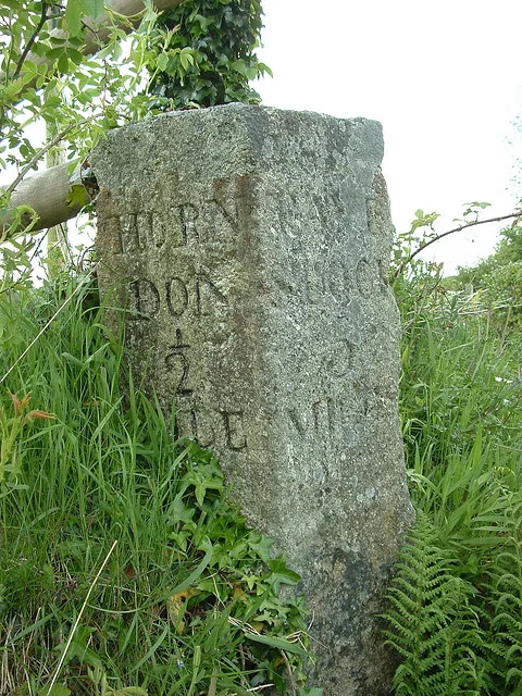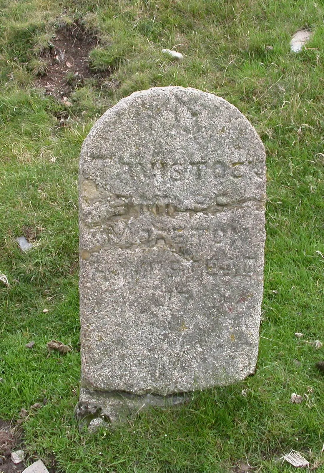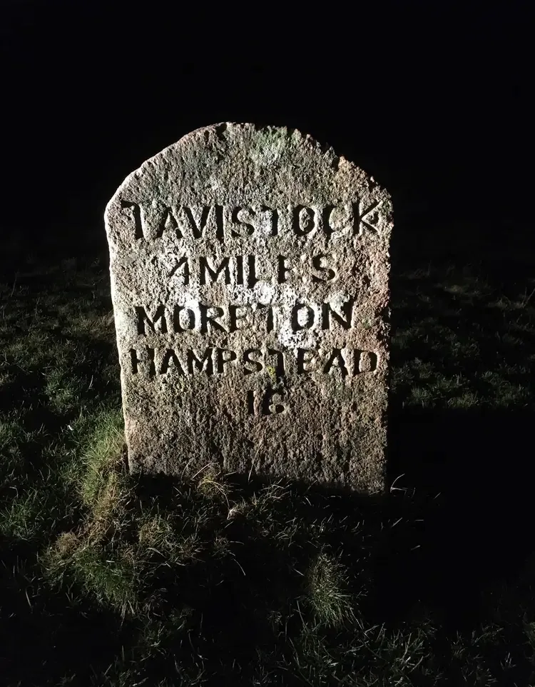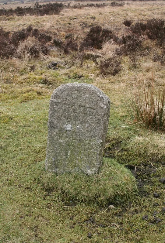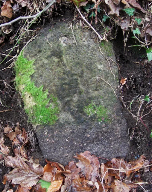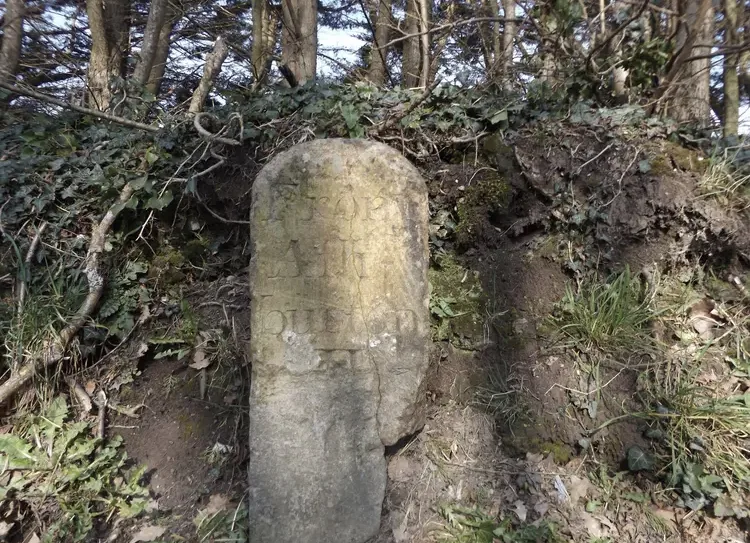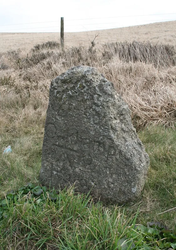
Milestone, SX 525795
Cudlipptown, Tavistock
A roadside milestone marking distance on the moor, likely from the 18th or 19th century.
Cudlipptown, Tavistock
A roadside milestone marking distance on the moor, likely from the 18th or 19th century.
Moortown, Tavistock
A roadside milestone marking distance on the old routes crossing Dartmoor's high moorland.
Merrivale, Tavistock
A wayside milestone marking distance on an old route across the moor, now a modest but enduring trace of Dartmoor's transport history.
Challacombe, Chagford
A weathered roadside milestone marking distance on the high moor, typical of routes crossing Dartmoor from the 18th or 19th century.
Lower Bowdley, Ashburton
A stone milestone marking distance on the road through Dartmoor's high moorland, likely from the turnpike era.
Dolbeare, Ashburton
A granite milestone marking the turnpike roads that crossed Dartmoor in the 18th and 19th centuries.
Venton, Ashburton
A modest stone boundary marker standing near Hemsworthy Gate, marking the edge of moorland common land.
Three boundary stones marking the limits of a medieval warren on the open moor south of Headland Warren Farm.
Bigadon, Buckfastleigh
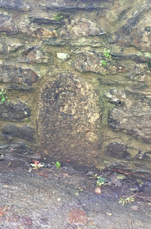
A boundary marker stone set into a moorland wall, marking historic land division on the slopes south west of The Rock.