Cairns in an enclosure on Homerton Hill
Four cairns inside an enclosure at least 100 m by 96 m on a north-west slope of Homerton Hill above the West Okement: two round, one oval and one ring cairn.
Showing listings tagged “Scheduled Monument” Show all listings
Four cairns inside an enclosure at least 100 m by 96 m on a north-west slope of Homerton Hill above the West Okement: two round, one oval and one ring cairn.

Which Dartmoor place is this?
Two Bronze Age cairns on the open moorland at Ausewell Rocks, marking an ancient burial or ceremonial site.
A tor cairn 180 m north of the High Willhays summit: a curved bank 1.5 m wide against the south face of a rock outcrop, partly faced with flat slabs, enclosing 10 m by 7 m.
A scheduled monument marking a cache site used by tin miners working the high moor north east of Norsworthy Bridge.
Three Bronze Age round cairns on the moorland south west of Black Tor, a scheduled monument on Dartmoor.
Prehistoric field boundaries and later settlements on the high moor between Shovel Down and Long Ridge.
Two small hut circles, 2.6 m and 2.2 m across inside, on a narrow terrace on a steep west slope above Tavy Cleave, with doorways facing west-south-west and west-north-west.
Two settlements on the east slope of Winney's Down: 20 hut circles in three clusters with two enclosures, and three more huts on a terrace 170 m south, with a small cairn.
Two ring cairns on the upper slopes of Cator Common, 12 m and 16 m across, both disturbed by early digging or robbing.
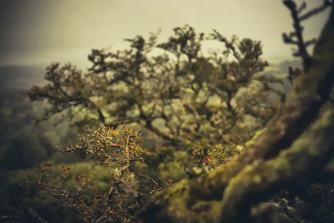
Hawthorn detail. Photograph by Glavind Strachan Photography“Away to the northward is seen the boggy land in the neighbourhood of Erme Head, with the distant tors peeping over the dark brown ridges.”
Also on Our DartmoorSpitchwick Lodges — Two Grade II listed lodge buildings of the Spitchwick estate: the Higher Lodge, late 19th century, and the Lower Lodges, a pair of about 1800 with additions. Private homes.