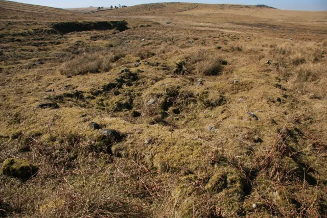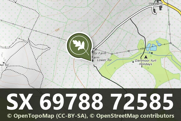
North Hessary Tor settlement: nine huts and later shelters
Nine hut circles, 3.1 to 8 m across, with later shelters built in them, on the lower south slope of North Hessary Tor above the Meavy.
Showing listings tagged “Medieval” Show all listings
Nine hut circles, 3.1 to 8 m across, with later shelters built in them, on the lower south slope of North Hessary Tor above the Meavy.
A medieval longhouse 13 m by 4 m inside with a 9 m annex and a drainage ditch, and an outbuilding 66 m north-east of it, on Peek Hill above Burrator Reservoir.
What is the earliest known written record of the Childe the Hunter legend?
Bronze Age cairns and medieval farmstead within a reave system on Dartmoor.
A small two-roomed drystone house with two annexes and a yard, field walls and a tin openwork at Shavercombe Foot, perhaps Hentor Cot, home of a farm labourer in the early 1800s.
A Grade II* listed farmhouse on the high moor, likely medieval in origin.
Medieval strip fields on the lower west slope of Hamel Down, with a barn platform 19.5 m long, three small openworks, five small prehistoric settlements (one dug in 1938) and a 13.4 m cairn.
Remains of a medieval rural settlement on the eastern slopes of Dartmoor, now visible as earthwork features across open moorland.
A Grade II* listed farmhouse on the moorland edge, likely dating from the medieval or early modern period.
A granite boundary stone 1.18 m high, cut HWB3, the third marker of Hentor Warren, named in an 1807 lease, 200 m south-east of Hen Tor.