

← Browse Dartmoor Walking Routes · Browse the directory
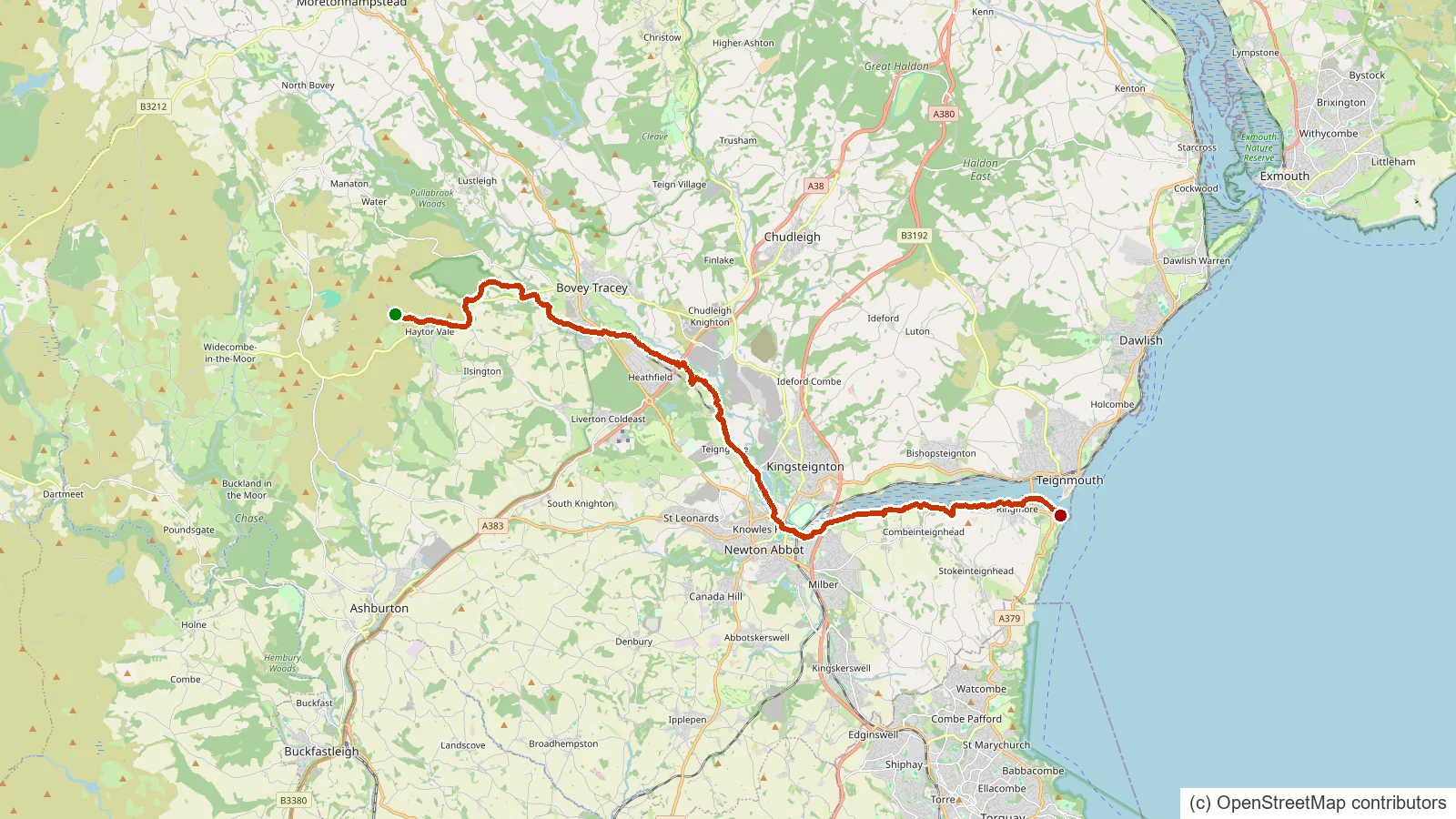
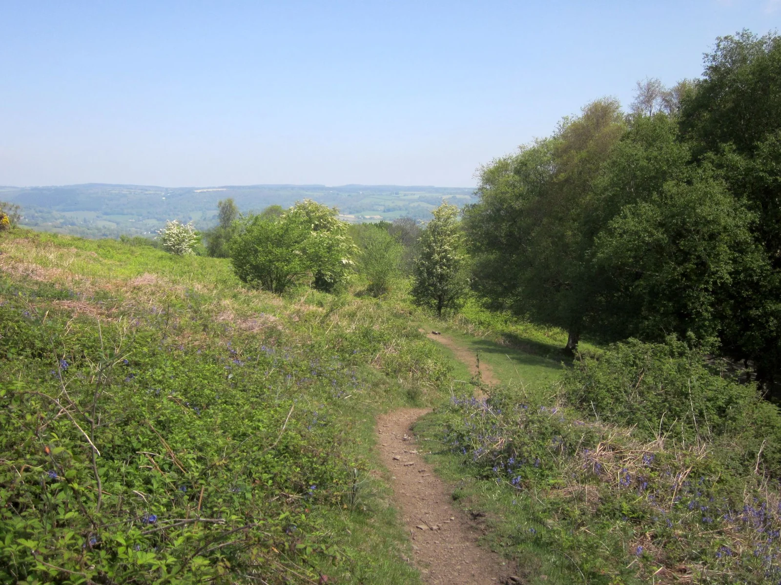
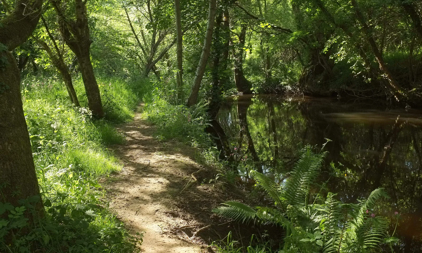
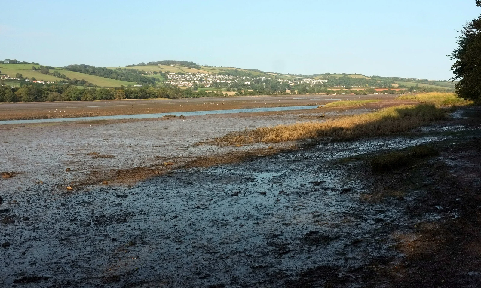
The Templer Way traces the route by which Dartmoor granite once travelled to the coast. It begins high on Haytor Down beside the remarkable Haytor Granite Tramway, whose rails were cut from granite itself, then follows the line of the Stover Canal and the Teign estuary down to the sea at Teignmouth. It is a walk through industrial heritage as much as landscape.
Route data © OpenStreetMap contributors (ODbL); mapped from OSM relation 1837211.
Suggest an edit to this listing
- About 25.3 km
- Starts near Haytor Vale, Bovey Tracey, Devon
- A GPS track to follow (it may not include turn-by-turn waypoints)
Take this route with you
Download the GPX file, then open it in your favourite walking app or website:
Route data © OpenStreetMap contributors (ODbL). Rendered by Our Dartmoor.
Thoughts
Be the first to share a thought about Templer Way.
Share a thoughtKnow another Dartmoor place, tor or landmark we should include? Suggest a listing, it is free.
Suggest a listing