

Dartmoor quiz
Old books sometimes spell "Sittaford Tor" differently. Which of these is one of those spellings?


← Browse Milestones & Boundary Markers · Browse the directory
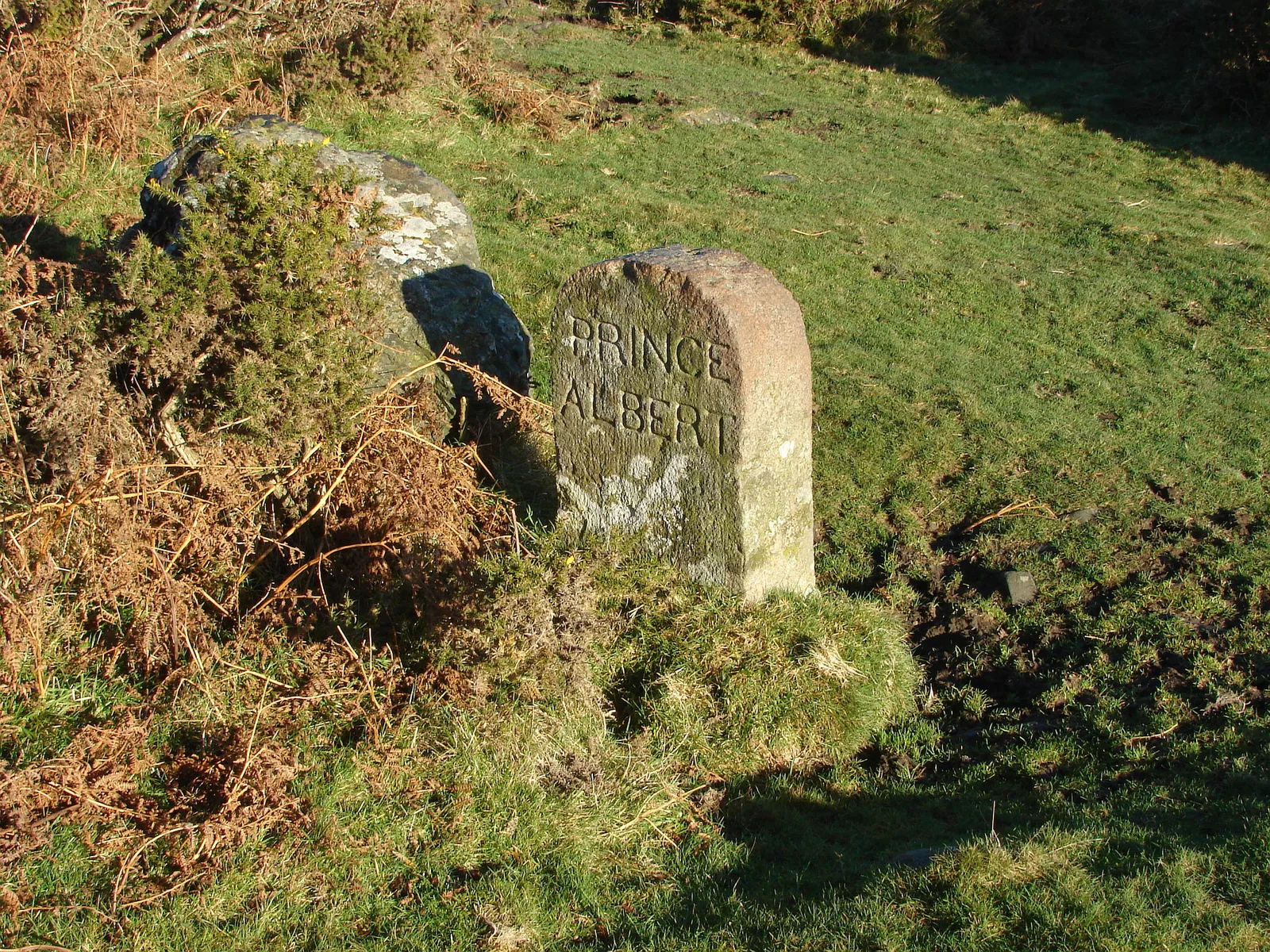
Smallacombe, Bovey Tracey, Devon
Grid ref: SX 7786 7755 Find this on the Map Reference Finder
On walking routes: Templer Way
Main image: Prince Albert - 24 metres from location - image by Alan Hunt (CC BY-SA 2.0), via Wikimedia Commons
The full official description is in the Historic England record linked above.
Historic England listed designation: Boundary Stone On The Western Parish Boundary About 300M North-West Of The Haytor Road
Contact us if you have information about this listing
Dartefacts is a database of Dartmoor sites with far more close-up detail than we can show here, and it is the best place to go deeper. Dartefacts is free to use, and nobody has to pay to look things up. If you want more, a yearly subscription adds 10-figure grid references, map zoom down to 1:25,000 and lists to tick off the places you have visited, and it helps keep the site going. We would encourage you to subscribe.
Be the first to share a thought about Boundary Stone near The Haytor Road.
Share a thoughtOld books sometimes spell "Sittaford Tor" differently. Which of these is one of those spellings?
Know another Dartmoor place, tor or landmark we should include? Suggest a listing, it is free.
Suggest a listing