

← Browse Milestones & Boundary Markers · Browse the directory
Direction Post On South East Side Of Haytor Down, On North West Side Of The Road About 60 Metres North East Of The Turning To Haytor Vale
Haytor Vale, Bovey Tracey, Devon
Grid ref: SX 7682 7736
On walking routes: Templer Way
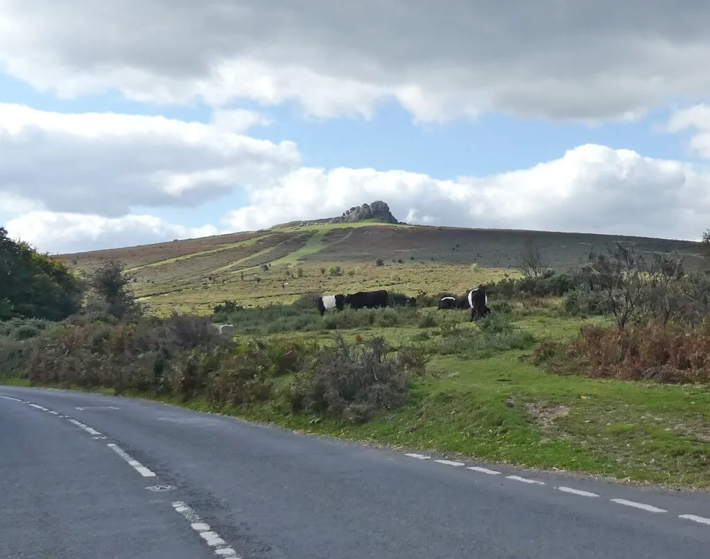
Main image: Cattle on the moorland below Haytor Rocks - 13 metres from location - image by Roger Cornfoot (CC BY-SA 2.0), via Wikimedia Commons
- Status: Listed building (Historic England list entry 1260900)
- Grid reference: SX 7682 7736 (approximate, from the listing's coordinates)
The full official description is in the Historic England record linked above.


Official record
Explore the area
Thoughts
Be the first to share a thought about Direction Post On South East Side Of Haytor Down, On North West Side Of The Road About 60 Metres North East Of The Turning To Haytor Vale.
Share a thoughtKnow another Dartmoor place, tor or landmark we should include? Suggest a listing, it is free.
Suggest a listing